
Yala is a leafy village of summer houses and clear rivers about 15 km (9 miles) north of San Salvador de Jujuy on Route 9, and the gateway to Potrero de Yala Provincial Park, the oldest protected area in Jujuy province. Its lagoons, Rodeo and Comedero, sit at about 2,100 meters (6,900 ft) and are reached on Provincial Route 4, a gravel mountain road that starts in the Los Nogales neighborhood. By car or on a tour it takes less than an hour from the city, or you can ride bus line 35 to Los Nogales. This guide covers what to see at the lagoons, how to reach the Paredones de Yala gorge, where to camp, what's happening with trout fishing in 2026, the weather and the best time to go.
Yala, the Green Village 20 Minutes from the City
Yala is a municipality in the Doctor Manuel Belgrano department and part of Greater San Salvador de Jujuy. The 2022 census counted about 3,000 residents. It stretches along Route 9 and the Yala river, where a line of weekend houses, farms, clubs and campgrounds follows the water for several kilometers. That stretch, on Provincial Route 4, is the Los Nogales neighborhood.
The city is only 20 minutes away, but here everything is green and you hear the river all the time; many locals come on weekends to grill by the water or eat trout. The village sits at around 1,500 meters (4,900 ft), only slightly higher than the capital.
Note that there's no mobile signal inside the provincial park, so download an offline map before heading up. If you haven't picked a base in the city yet, see our San Salvador de Jujuy page and our guide to where to stay in San Salvador de Jujuy.
Potrero de Yala Provincial Park: What It Is and How to Enter
The official name is Parque Provincial Potrero de Yala (Potrero de Yala Provincial Park), although everyone calls it "the Yala lagoons". It was created in 1952 by provincial decree 731, through the expropriation of a rural plot in the Yala district, and in 2000 provincial law 5203 declared it a protected area. Argentina's Biodiversity Information System lists it at 4,292 hectares (about 10,600 acres), ranging from roughly 1,600 meters up to the peaks of the Chañi range.
It protects montane cloud forest, the alder woods around the lagoons and misty high grasslands, and BirdLife International lists it as an Important Bird Area.
There are two ways in, both on RP 4:
• From Yala: at the Route 9 roundabout next to the gas station, take RP 4 west through Los Nogales and up the mountain road. From the park entrance to Laguna Rodeo it's about 7 km (4 miles) uphill.
• From Termas de Reyes: the same RP 4 continues from the hot springs on gravel to the lagoons, on what's known as the Yala–Reyes circuit.
Local guides agree that entry to the park is free, with no ticket booth. The road inside the park is narrow gravel with hairpin bends and loose livestock (cows, goats and horses belonging to families who live in the park). Drive slowly and in daylight.
The Yala Lagoons One by One, and the Trails
The park holds a chain of lagoons where the cloud forest meets the high grasslands: Rodeo, Comedero, Desaguadero, Noques and a few seasonal ones. Only Rodeo and Comedero are open to visitors. Boats aren't allowed and swimming is not permitted.
- Laguna Desaguadero: the first one you see driving up from Yala, on your left. It's on private land with the gate closed, so you can only view it from the road.
- Laguna Rodeo: the most famous, at the highest point of the road. Tree-lined slopes run down to the water, and several short trails start here.
- Laguna Comedero: a few kilometers farther on, toward Termas de Reyes. It has a wooden viewing deck by the road and a path down to the shore. It's the least crowded.
- Laguna Noques: smaller and hidden behind a hill; you can only reach it on foot from Rodeo, in about 20 minutes, and in the dry season it may hold more grass than water.
Herons, coots and cormorants are easy to spot on the lagoons. The park's signposted trails are short and easy:
• Corral Redondo: 900 m.
• Bosque Montano: 1,650 m.
• Peri Laguna Rodeo: 1,750 m.
• Miradores: 2,400 m, with views over the valley and the city.
• Tablones: 3,200 m, moderate.
Bring a warm layer even if it's hot down in the valley: it's usually cooler at the lagoons and the mist rolls in quickly.
Paredones de Yala: How to Get There and When You Can Go
The Paredones de Yala are a narrow stretch of the Yala river where two walls of reddish rock close in to just a few meters apart. At the end, the water drops in a small waterfall into a pool where you can cool off.
The access point is near the park entrance on RP 4: just before the bend where the climb to the lagoons begins, next to the water treatment plant, a staircase leads down to the river. From there you walk over rocks and through the water for about 25 minutes to the waterfall. The round trip takes under an hour and covers only about a kilometer, but it's moderately hard: you'll use your hands in places and the water can reach your knees or waist.
- When to go: April to November, when the river runs low.
- When not to go: December to March. Summer rains swell the river and make the route dangerous; don't try it even if there are no signs warning you off.
- What to bring: shoes that can get wet with good grip, a dry bag for your phone and a change of clothes.
If you're not used to river walking in the mountains, go with a guide.
Fishing and Trout in Yala: What You Can Do in 2026
Yala is known for trout: there are fish farms nearby and it's the star dish on almost every menu. But check the rules before you pack a rod.
- Inside the park: provincial rules in force in 2026 ban fishing in all of Jujuy's protected areas and nature reserves, and Potrero de Yala Provincial Park is one of them. Some older guides still say you can fish in Laguna Rodeo; don't rely on it, and check with the provincial Biodiversity Department before you go.
- In the rivers: since October 21, 2026, a sport-fishing closed season applies to the San Francisco and Lavayén rivers and their tributaries (Resolution 131/2026), until the authorities lift it.
- License: outside the closed season, you need a daily permit or annual license to fish in Jujuy.
The easiest way to enjoy Yala trout is on a plate. Coto de Pesca Los Nogales, on RP 4, is a restaurant beside a trout farm that opens for lunch on Saturdays and Sundays; booking ahead is a good idea. The town also hosts a Trout Week: in 2026 it runs from October 26 to November 1, with special dishes, a cooking class and guided visits to the trout farm. If you're into regional food, read our guide to Jujuy's traditional dishes.
Camping in Yala: Los Nogales and Other Options
Yala is one of the most popular camping spots near the capital. These are the options we found operating in 2026:
- Camping Los Nogales: in the Los Nogales neighborhood, right on the Yala river. It's rustic and peaceful, with tables, grills, covered barbecue areas, hot showers and direct access to the river. One camper reported paying ARS 10,000 per person in January 2026.
- Complejo Turístico El Refugio de Yala: at Avenida Libertador 2327, on Route 9 just past the bridge. It has a camping area, cabins, rooms and dorms, a seasonal pool, grills and Wi-Fi, and it's pet-friendly.
- Camping in the park: there's a free camping area on the shore of Laguna Rodeo with no facilities. Bring water and warm mountain gear, and pack out all your trash.
Check prices on WhatsApp before you go: campgrounds fill up in summer and on long weekends. If you'd rather sleep indoors, browse Jujuy hotels.
Getting to Yala and the Lagoons: Car, Bus or Tour
- By car: from San Salvador de Jujuy, drive north on Route 9 for about 15 km (9 miles) to the Yala roundabout (km 1704) and turn west onto RP 4. It's about 20 minutes to the village; allow around an hour to Laguna Rodeo on the gravel. See options in car rental in Jujuy.
- By bus: Santa Ana's line 35 runs from the old bus station downtown (Leandro N. Alem and Urdininea) to Yala and Los Nogales, ending near Puente Negro, close to the Paredones trail. You pay with a SUBE card. From September 18, 2026, the fare was ARS 1,920.12 to Yala and ARS 2,142.11 to Los Nogales. The bus doesn't go up to the lagoons: from the last stop it's about 7 km (4 miles) uphill on foot, with roughly 800 meters (2,600 ft) of climbing.
- On a tour or by remis: the most practical choice if you don't drive. Many agencies combine Yala and Termas de Reyes in one day.
- Yala–Reyes circuit: RP 4 links the lagoons with Termas de Reyes along about 22 km (14 miles) of gravel. The full loop of roughly 47 km (29 miles) takes a little over two hours of driving without stops, and there's no public transport on that stretch. For the hot springs, see our guide to Termas de Reyes.
From December to March RP 4 can close because of landslides, so ask about road conditions before heading up.
Altitude, Weather in Yala and the Best Time to Visit
Yala sits at around 1,500 meters (4,900 ft) and Laguna Rodeo at about 2,100 meters (6,900 ft). That's a gentle step up: almost nobody feels the altitude here, which makes Yala a good outing for your first days in Jujuy, before you climb into the Quebrada. The cloud forest continues across eastern Jujuy; if you love this scenery, see our Yungas page.
Yala's climate is mild and humid, very different from the dry Quebrada:
• Rain: according to local weather station records, Yala gets about 1,185 mm (47 in) a year and Laguna Rodeo about 1,381 mm (54 in). More than 80% falls between October and March.
• Temperature: the annual average is around 15 °C (59 °F) in Los Nogales, dropping to about 12 °C (54 °F) at Laguna Rodeo.
• Mist and snow: fog is common, and in winter it can snow in the higher forest.
Best time to go:
• April and May: the park is still green, the lagoons are full and the roads have dried out. This is the sweet spot.
• June to November: drier days, cold at the lagoons in winter and low rivers, good for the Paredones; the rains return from October.
• December to March: everything is lush and in flower, but it rains a lot, the Paredones are off-limits and the road can close.
Frequently Asked Questions
Ready to travel?
Compare hotels, car rentals and tours in Jujuy.
Related Articles
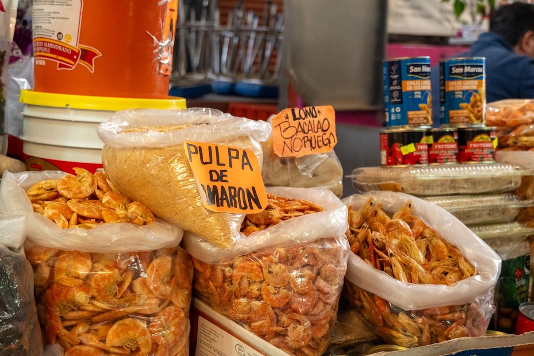
Jujuy Food Guide: The Traditional Dishes You Must Try in Northwest Argentina
Discover Jujuy cuisine: locro, humitas, tamales, grilled llama, Andean empanadas, chicha and the best places to eat in the Quebrada and San Salvador.
Read more →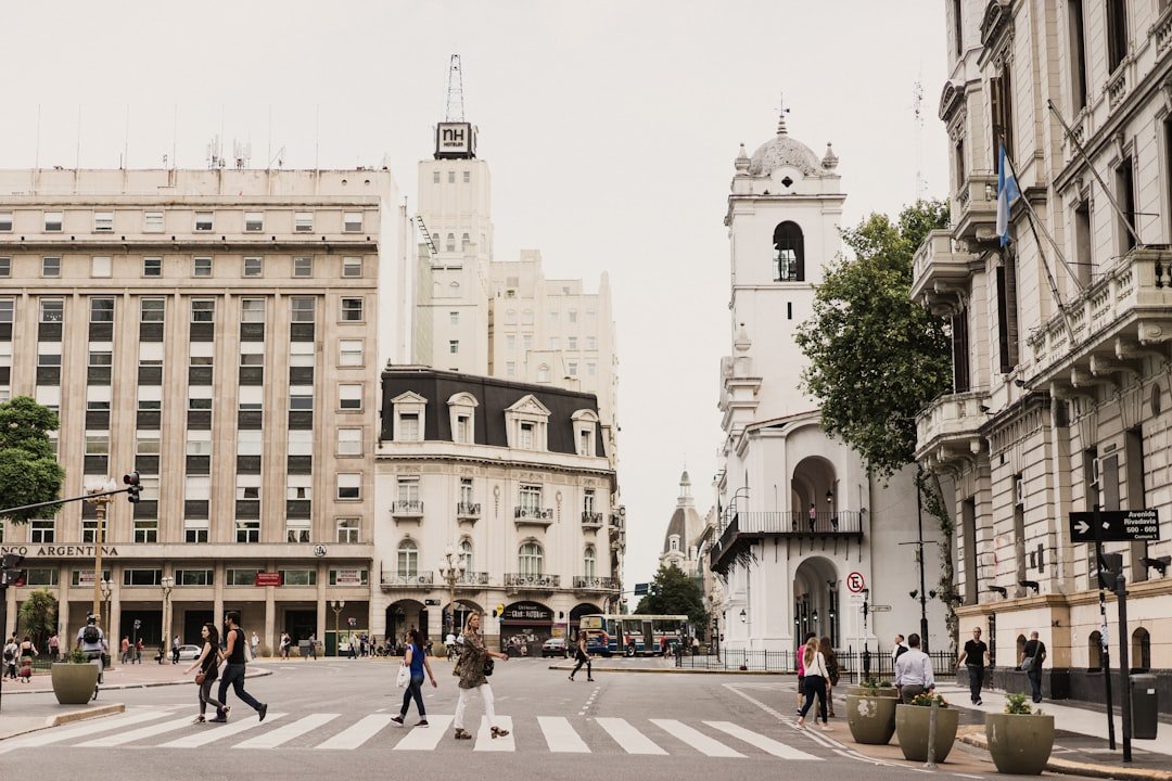
San Salvador de Jujuy: What to See in the Capital — Historic Center, Museums and Food
Guide to San Salvador de Jujuy: colonial cathedral, historic Cabildo, Mercado del Norte, Reyes neighborhood, museums and how to use it as a base for exploring the province.
Read more →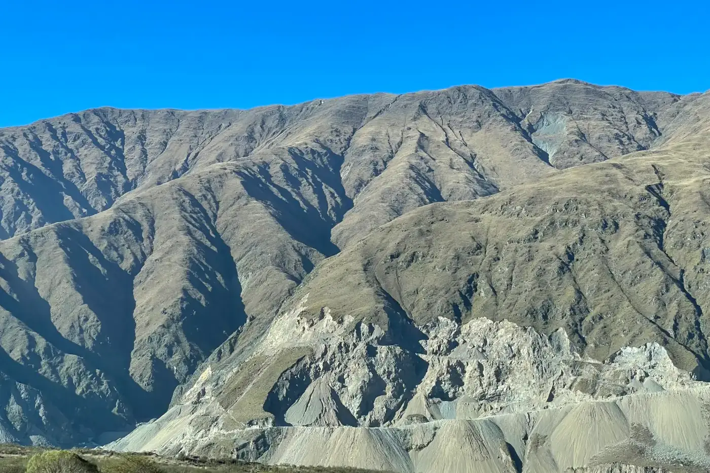
How to Get to Jujuy, Argentina: Flights, Buses and Driving (2026)
Flights to San Salvador de Jujuy, getting from JUJ airport to town, flying via Salta, long-distance buses, driving routes and reaching the Quebrada. 2026.
Read more →