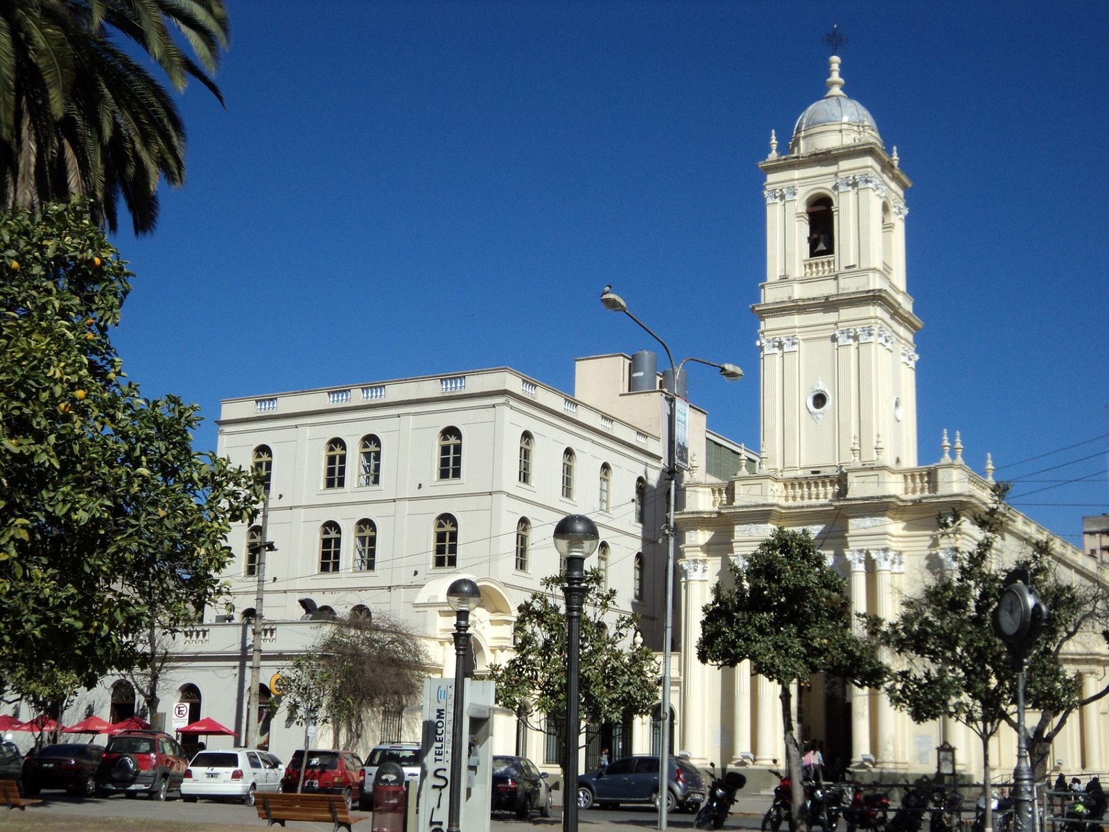
Yungas & Calilegua National Park
The Jujuy Yungas are the subtropical mountain rainforest covering the eastern part of the province, an ecosystem completely different from the Quebrada and Puna. Calilegua National Park, with 76,306 hectares, protects the country's largest Yungas area. Vegetation is lush with giant ferns, orchids, and biodiversity including jaguars, tapirs, and toucans. Trails range from easy walks to multi-day treks. The transition from the arid Quebrada to green jungle is one of northwestern Argentina's most spectacular contrasts.
Yungas & Calilegua National Park: quick facts
- Yungas altitude
- from 400 to 3,000 m (1,300 to 9,850 ft)
- Calilegua National Park
- 76,306 ha (about 188,500 acres), created in 1979
- Visitor area
- from 450 m at Aguas Negras to 1,800 m at El Monolito
- From San Salvador de Jujuy
- about 115 km (71 mi) via Route 34
- From Salta city
- about 170 km (106 mi) via Routes 9 and 34
- Access road
- Provincial Route 83, compacted gravel, from Libertador General San Martín
- Entry
- free; registration required for trails
- Biodiversity
- 350 bird, 120 mammal and 123 tree species recorded
- Best season
- May to November, outside the rainy season
How high are the Yungas of Jujuy?
The Yungas are the mountain cloud forest of eastern Jujuy, and they stretch from 400 to 3,000 meters (about 1,300 to 9,850 feet) above sea level. They are part of a belt of humid forest running along the eastern slopes of the Andes, which in Argentina crosses Jujuy, Salta, Tucumán and Catamarca provinces.
As you climb, the forest changes completely. Scientists recognize four bands:
- Foothill forest (400 to 700 m): the lowest and warmest band, with palo blanco, palo amarillo, pink lapacho and urundel trees.
- Montane rainforest (700 to 1,500 m): the wettest zone, evergreen with laurels, wild figs and white tipa.
- Montane cloud forest (1,500 to 3,000 m): misty woods of mountain podocarp, alder and Andean walnut.
- Mist grasslands: above the tree line, high meadows that catch moisture from the clouds.
Calilegua National Park covers almost the whole gradient, from the foothills to the high grasslands. The section you can visit along Route 83 starts at about 450 m (1,480 ft) at Aguas Negras, passes Mesada de las Colmenas at 1,200 m and reaches El Monolito at 1,800 m (5,900 ft). Unlike the Quebrada, altitude is not an issue here; humidity and mud are.
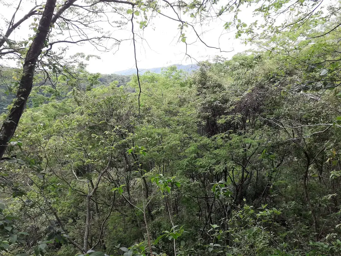
Calilegua National Park: what to see and which trails to hike
Calilegua National Park was created in 1979, covers 76,306 hectares and is the largest protected area of Yungas forest in Argentina. It is a core zone of the Yungas Biosphere Reserve, recognized by UNESCO in 2002. Information and trail registration are at the Aguas Negras Visitor Center, staffed daily from 8 am to 7 pm.
Trails fall into two groups. Short, family-friendly walks:
- Somos Selva (229 m, 20 minutes): a wheelchair-accessible paved path.
- Nuestra Selva (623 m, 1 hour): an interpretive trail on the Guaraní worldview, with signs in Spanish and Guaraní.
- El Pedemontano (1.8 km one way): starts at the San Lorenzo River viewpoint, through cedar, urundel and lapacho trees.
- Bosque del Cielo (592 m one way): by El Monolito in the cloud forest, ending at a viewpoint over the ranges.
And longer hikes, with mandatory registration:
- La Lagunita (3.3 km, 2 hours): leads to a small lake with waterbirds and, if you are lucky, a broad-snouted caiman.
- El Tapir, Tataupá, La Junta and El Negrito: three- to five-hour routes through foothill and montane forest. They close during the rainy season.
You can also drive the 23 km of Route 83 inside the park and stop at viewpoints: as you climb, the forest opens up and the air cools. For a broader look at this ecosystem, read our article on the Yungas jungle and Calilegua.
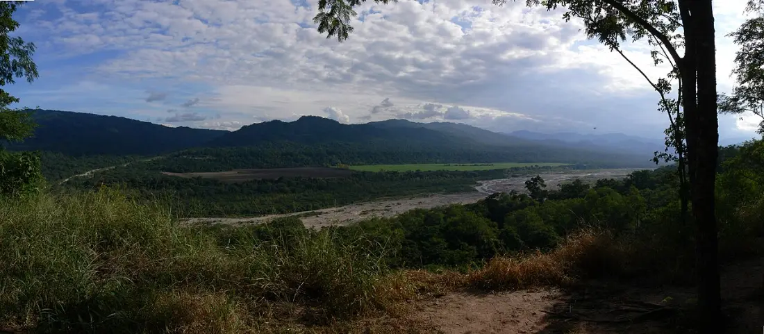
Wildlife of the Yungas: what animals you can see
The Yungas are one of the most biodiverse habitats in Argentina. Calilegua alone has recorded 120 mammal species and 350 bird species. These are the animals people come for, and what to realistically expect:
- Toco toucan: the iconic bird of the Yungas, often seen along forest edges.
- Blue-crowned motmot (burgo): the park's emblem species, long-tailed and brightly colored.
- Blue-crowned trogon (surucuá aurora): a relative of the Central American quetzal and a prize sighting for birders.
- Black-and-chestnut eagle, crowned eagle and Andean condor: large raptors soaring over the gorges.
- Capuchin monkeys and red squirrels: the mammals you are most likely to see by day.
- Lowland tapir, red brocket deer and collared peccary: they use the trails, but you are far more likely to find their tracks than the animals.
- Jaguar, taruca (north Andean deer) and ocelot: threatened species living in the park. Seeing one is exceptional.
- Prehensile-tailed porcupine and the marsupial frog, another of the park's rarities.
The best birding hours are dawn, from 6 to 8 am, and late afternoon, from 4 to 6 pm. Bring binoculars, walk quietly and never feed wildlife.
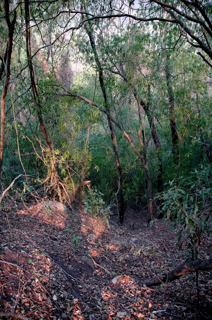
Flora of the Yungas: trees, ferns and orchids
Calilegua has recorded 123 tree species and 77 ferns, plus countless vines, orchids, bromeliads and shrubs. A few to look out for:
- In the lower forest: tipa, jacaranda (tarco), pink-flowering lapacho, cedar and urundel, prized hardwoods.
- In the montane rainforest: laurels, wild fig (maroma), horco molle and white tipa, green all year round.
- In the cloud forest: mountain podocarp, the region's only native conifer, plus Andean alder and Andean walnut.
- Everywhere: lianas, lichens, mosses and epiphytes draped over trunks and branches, especially on the Bosque del Cielo trail.
The forest looks lushest after the rains, in fall (April and May). To see how different it is from the Quebrada and the Puna, check our guide to things to do in Jujuy, which covers all four of the province's landscapes.
How to get to Calilegua National Park
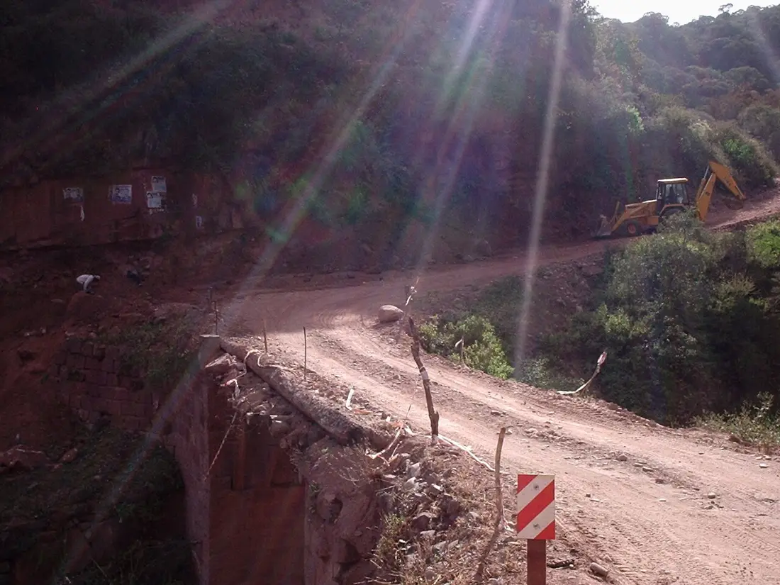
From San Salvador de Jujuy: take Route 34 north to Libertador General San Martín, about 112 km away. After the bridge over the San Lorenzo River, Route 83 begins, a compacted-gravel road with cliff-edge bends; the park entrance is about 8 km in. The total is around 115 km (71 mi).
From Salta: about 170 km (106 mi) via Routes 9 and 34. This works well if you are combining the Yungas with a trip through northern Salta.
From the airport: Horacio Guzmán International Airport (JUJ), in Perico, is about 92 km from the park, roughly 1 h 20 min by car. Leaving the Yungas for the end of your trip and flying out from there works nicely; most international visitors connect via Buenos Aires.
By bus: the bus terminal in Libertador General San Martín, served from all over Argentina, is 8 km from the park. Every day at 8 am a local bus leaves for San Francisco and Valle Grande, passing through the park and returning in the afternoon: ask the driver to drop you at Aguas Negras. Taxis (remises) are available in Libertador and Calilegua.
On a tour: some agencies in San Salvador and Salta run trips to the Yungas; see options in Jujuy tours. If you are driving, take the gravel road slowly; you can compare vehicles in car rental in Jujuy. All the ways to reach the province are in how to get to Jujuy.
Where to stay near Calilegua
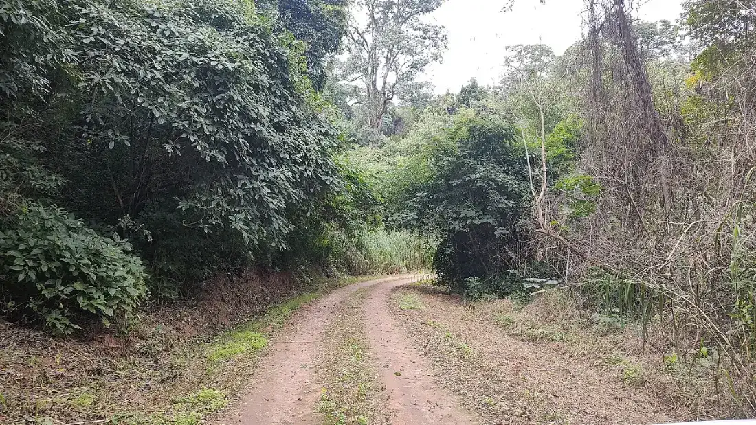
Inside the park the only option is camping. Outside, Libertador General San Martín and the village of Calilegua have most of the accommodation, 10 to 20 minutes from the entrance. A few confirmed options:
- Aguas Negras campground (inside the park): basic and free, with 25 pitches, fire pits, tables and solar-heated showers. There is no electricity or shop, and the water is not drinkable.
- Hostería Posada del Sol (Libertador General San Martín): 20 rooms set in gardens, with a pool and spa, about 8 km from the park.
- Hotel Anzoátegui (Libertador General San Martín): on Route 34, handy for an early start.
- Benítez Hostería (Calilegua): inn with a garden and restaurant in Calilegua village.
- Hostería El Jardín Colonial (Calilegua): a 1916 house with a large garden and pool, in the village center.
If you would rather visit the Yungas on a day trip from the capital, see where to stay in San Salvador de Jujuy. To compare availability across the province, browse Jujuy hotels.
Weather by season
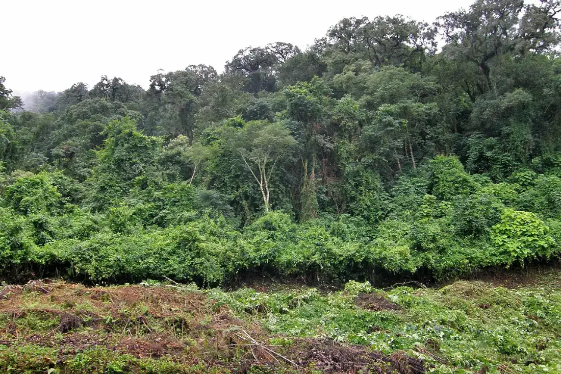
The Yungas have a subtropical climate with a very marked dry season in fall and winter and heavy rain from November to March. The montane rainforest can get over 2,000 mm (80 inches) a year, and mist is part of the scenery. Seasons are reversed from the Northern Hemisphere.
- Summer (December to March): hot, humid and wet, with the forest at its greenest. Several long trails close and Route 83 can suffer from mud or landslides.
- Fall (April and May): still very green as the dry season begins. A great time to go.
- Winter (June to August): mild, dry days in the lowlands and cooler in the higher sections. The forest is more open, making wildlife easier to spot.
- Spring (September to November): lapacho trees bloom pink and bird activity picks up.
Argentina's National Parks service recommends visiting between May and November. Opening hours change by season: April to November, 8:30 am to 6:30 pm; December to March, 8 am to 7:30 pm. Month-by-month details are in our best time to visit Jujuy guide.
More Yungas in Jujuy, plus practical tips
Calilegua is the main gateway, but not the only one. Beyond El Monolito, Route 83 drops to San Francisco, a mountain village about 45 km from Libertador, and continues into the Valle Grande district. Closer to the capital, Potrero de Yala Provincial Park, another core zone of the Biosphere Reserve, protects lakes and high forest, and the Termas de Reyes hot springs are about 19 km from San Salvador.
Before you go:
- Registration: sign in at the Aguas Negras Visitor Center before any moderate or difficult trail.
- Water: there is no drinking water in the park. Bring at least 2 liters per person.
- Food: there are no shops or restaurants inside the protected area.
- Fire: only allowed at the Aguas Negras campground.
- Clothing: grippy shoes, long sleeves, insect repellent and a rain jacket.
- Guides: not mandatory, but highly recommended for long trails and birding.
- Trash: carry it out to a bin in town.
To fit the Yungas into a longer trip, our northern Argentina road trip through Salta and Jujuy shows how.
Yungas & Calilegua National Park travel guides
What to See & Do in Yungas & Calilegua National Park
How to Get to Yungas & Calilegua National Park
From San Salvador: 115 km to Libertador General San Martín (park access), 1h30 via RN 34.
Frequently Asked Questions
What are the Yungas in Argentina?
They are the mountain cloud forests on the eastern slopes of the Andes, growing between 400 and 3,000 m in Jujuy, Salta, Tucumán and Catamarca. In Jujuy, their main protected area is Calilegua National Park.
What animals live in Calilegua National Park?
Toucans, motmots, trogons, eagles, capuchin monkeys, red squirrels, tapirs, brocket deer and peccaries, plus threatened jaguars, taruca deer and ocelots. The park has recorded 120 mammal and 350 bird species.
Is there an entrance fee for Calilegua National Park?
No. Entry and the Aguas Negras campground are free. You must register at the visitor center before moderate or difficult trails.
How do I get to Calilegua without a car?
Take a long-distance bus to Libertador General San Martín, then the daily 8 am local bus toward San Francisco and Valle Grande, which passes through the park. Taxis are also available from Libertador and Calilegua.
When is the best time to visit the Yungas?
May to November, outside the rainy season. In summer heavy rain closes some trails and can make Route 83 difficult.
Where can I stay near Calilegua?
At the free Aguas Negras campground inside the park, or in hotels and inns in Libertador General San Martín and Calilegua village, a few kilometers from the entrance.
Is Calilegua good for birdwatching?
Yes. With 350 recorded species, including toucans, the blue-crowned motmot and the blue-crowned trogon, it is one of Argentina's top birding spots. Dawn and late afternoon are the best times.
How much time do I need for Calilegua?
A full day covers the short trails and the drive up Route 83 to El Monolito. For longer hikes or serious birding, stay one or two nights nearby.
How to get to Yungas & Calilegua National Park?
From San Salvador: 115 km to Libertador General San Martín (park access), 1h30 via RN 34.
What is the altitude of Yungas & Calilegua National Park?
Yungas & Calilegua National Park sits at 400 – 3.000 m above sea level. Altitude sickness precautions are recommended if traveling from low-altitude areas.