Quebrada de Humahuaca
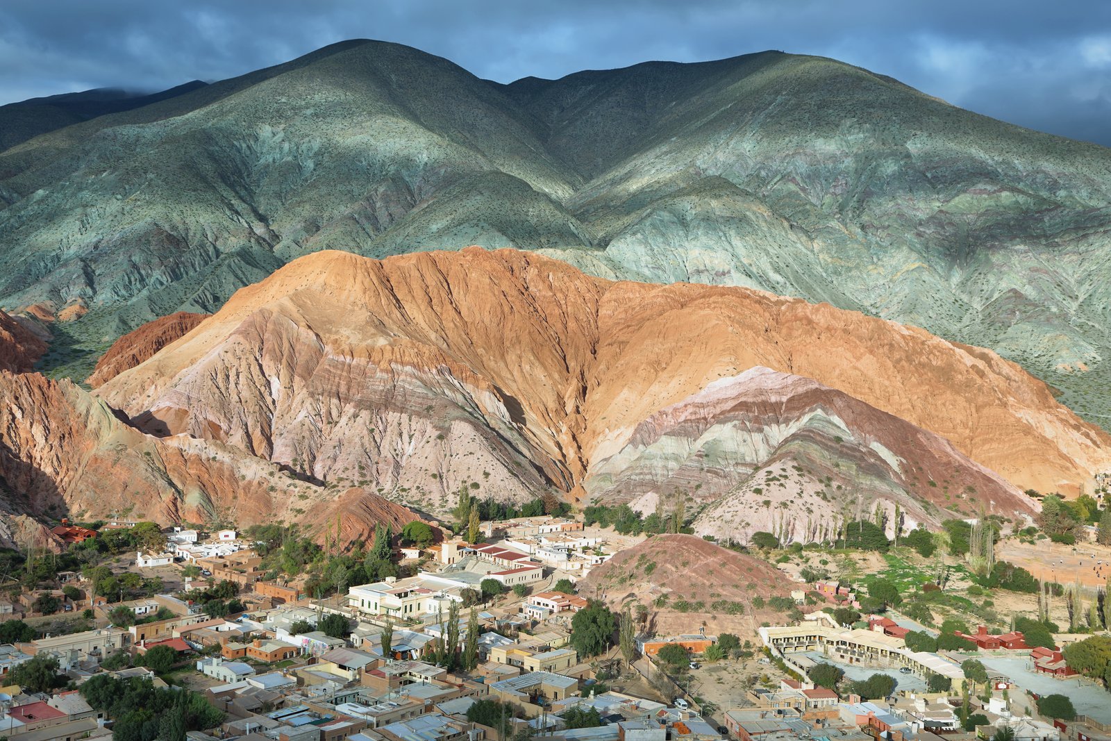
The Quebrada de Humahuaca, declared a UNESCO World Heritage Site in 2003, is a stunning 155 km valley stretching along the Río Grande, surrounded by multicolored mountains reaching over 4,000 meters. This natural corridor was part of the Inca Trail and today connects Jujuy's most iconic towns: Purmamarca, Tilcara, Maimará, and Humahuaca. Its geological formations, millions of years old, paint a landscape of reds, ochres, greens, and purples that shift with daylight. The Quebrada combines pre-Columbian archaeology, colonial architecture, living indigenous culture, and unique Andean gastronomy. It is the essential destination of any trip to northwestern Argentina.
Quebrada de Humahuaca: quick facts
- What it is
- Río Grande valley in Jujuy, UNESCO World Heritage Site since 2003
- Length
- a north–south corridor of about 155 km (96 mi)
- Altitude
- from about 1,640 m (5,380 ft) at Yala to 3,693 m (12,115 ft) at Tres Cruces
- Main road
- National Route 9, paved all the way
- Main towns
- Purmamarca, Maimará, Tilcara, Huacalera, Uquía and Humahuaca
- From San Salvador de Jujuy
- 65 km to Purmamarca, 84 km to Tilcara, 126 km to Humahuaca
- Nearest airport
- Horacio Guzmán (JUJ), in Perico, 33 km from the city
- Best time to go
- April to November, the dry season
- Protected area
- 172,116 ha, plus a 369,649 ha buffer zone
What the Quebrada de Humahuaca is, and how high it gets
The Quebrada de Humahuaca is a narrow, arid valley in Argentina's Jujuy province that follows the Río Grande for about 155 km (96 miles), from the high Andean plateau down to its confluence with the Río León near San Salvador de Jujuy. It has been a UNESCO World Heritage Site since 2003 and is the backbone of any trip to northern Argentina.
Altitude changes a lot from end to end, because the valley climbs steadily northward. Along Route 9, the 168 km stretch between Yala and Tres Cruces rises from about 1,640 m (5,380 ft) to 3,693 m (12,115 ft). The most visited towns sit in the middle band:
- Purmamarca: 2,324 m (7,625 ft)
- Maimará: 2,383 m (7,800 ft)
- Tilcara: 2,465 m (8,087 ft)
- Uquía: 2,818 m (9,245 ft)
- Humahuaca: 2,939 m (9,640 ft)
- Tres Cruces: 3,693 m (12,115 ft)
Some side trips climb much higher: the Hornocal viewpoint is at 4,350 m (14,270 ft). If altitude sickness worries you, travel south to north and sleep in the lower towns first. Every town is listed in our Jujuy altitude guide, and the big-picture overview is in our complete Quebrada de Humahuaca guide.
Towns of the Quebrada in order (south to north)
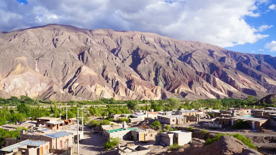
This is the order in which the towns appear as you drive north on Route 9 from San Salvador de Jujuy. Distances are approximate, measured from the provincial capital.
- Volcán (about 40 km): the southern gateway, where green valleys give way to ochre hills. It is the starting station of the Solar Train.
- Tumbaya (about 47 km): a tiny village with a late 18th-century church listed as a National Historic Monument.
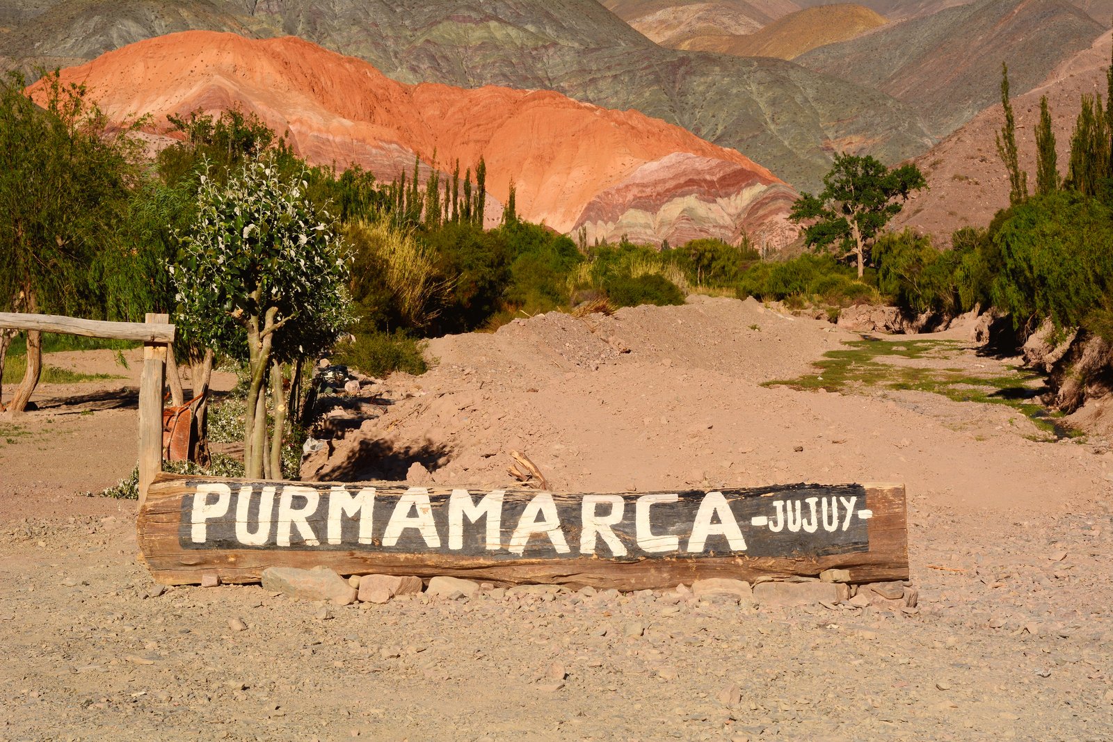
- Purmamarca (65 km): 3 km west of Route 9 on Route 52. The Hill of Seven Colors, the Paseo de los Colorados loop and the craft market make it the most photographed village. More on Purmamarca.
- Posta de Hornillos (about 74 km): a former colonial staging post turned museum, 2 km south of Maimará.
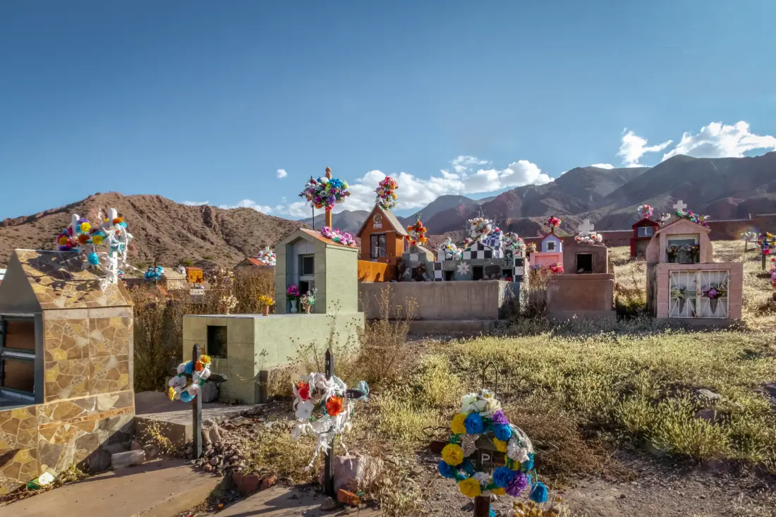
- Maimará (about 77 km): the Painter's Palette and its hillside cemetery. Named a UN Tourism Best Tourism Village in 2025.
- Tilcara (84 km): the liveliest town, with the Pucará ruins, museums, folk-music venues and the Garganta del Diablo hike.
- Huacalera (about 100 km): the Tropic of Capricorn marker and the Inti Raymi sun festival every June 21. Seven km farther north is the turnoff to the El Angosto de Yacoraite community.
- Uquía (about 115 km): 11 km before Humahuaca, its church holds one of the most important collections of Cuzco-school paintings of musket-bearing angels.
- Humahuaca (126 km): the main town, with the Independence Monument, the old Cabildo and the road to the Hornocal range.
- Tres Cruces (about 183 km): 57 km north of Humahuaca, on the edge of the Puna. It marks the northern end of the Quebrada.
By car, San Salvador to Humahuaca takes around two hours without stops, but give the valley at least two or three days.
Why it is a UNESCO World Heritage Site (2003)
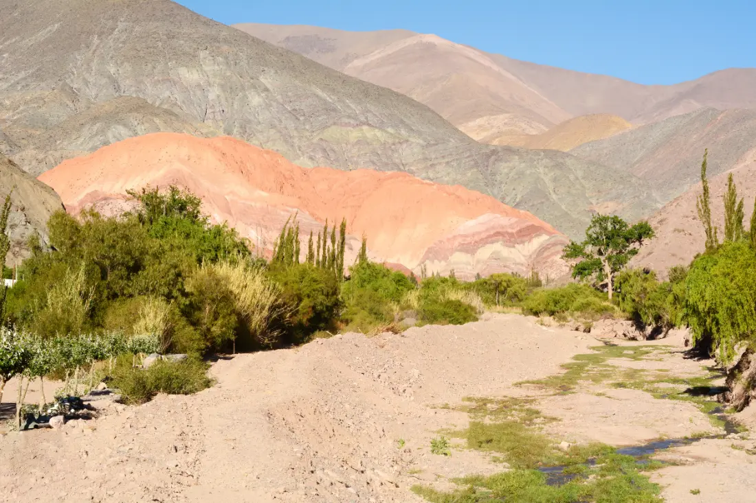
UNESCO added the Quebrada de Humahuaca to the World Heritage List in 2003, at the 27th session of the World Heritage Committee, as a cultural property in the Cultural Landscape category. It was not just the colorful mountains that earned the listing, but the human imprint left by ten thousand years of use.
The key reasons, in short:
- For around 10,000 years the valley served as a vital corridor for people, goods and ideas moving between the high Andes and the plains of southeastern South America.
- It preserves traces of hunter-gatherers and early farmers, large agricultural societies, fortified pre-Hispanic towns, the Inca Empire and the Spanish colonial period, as well as sites from Argentina's wars of independence.
- Standouts include the stone-walled farming terraces at Coctaca, which date back about 1,500 years and are still in use, along with a chain of hilltop fortified towns known as pucarás.
- Colonial churches and chapels and a living tradition of adobe architecture complete the picture.
The listed area covers 172,116 hectares, with a 369,649-hectare buffer zone, and it includes the towns and the communities who live there. That is why building rules and heritage care are part of daily life: stick to marked paths at archaeological sites and never pocket stones or pottery fragments.
Quebrada de Humahuaca map: how the route fits together
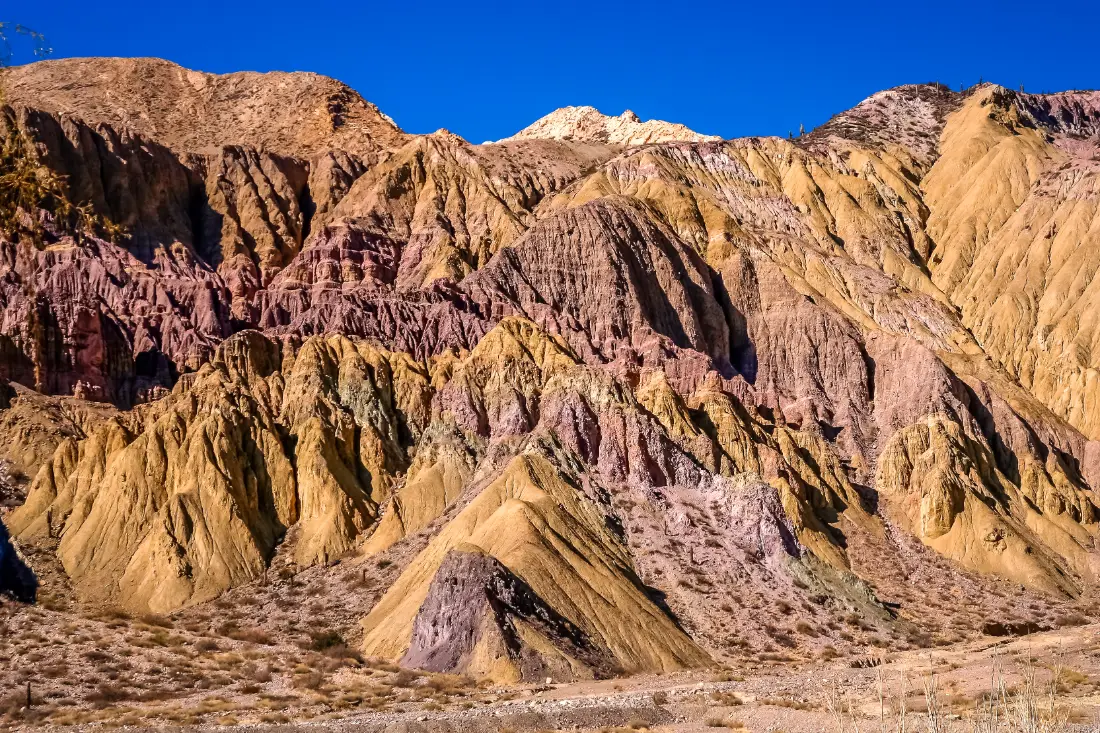
Look at a map of the Quebrada and you will see that everything is organized around one road and a handful of side trips. Here is how to read it:
- Main axis: Route 9 runs south to north along the Río Grande, from San Salvador de Jujuy to Tres Cruces and on to La Quiaca on the Bolivian border.
- West at Purmamarca: Route 52 climbs the Cuesta de Lipán to the Salinas Grandes salt flats (66 km from the village) and continues to Susques and the Jama Pass into Chile.
- East at Humahuaca: gravel Route 73 reaches the Hornocal viewpoint in about 24 km.
- East beyond Humahuaca: about 26 km north of town, dirt Route 13 crosses the Abra del Cóndor pass and drops to Iruya, just over the border in Salta province.
- Solar Train: 42 km of track alongside the highway between Volcán and Tilcara, with stations at Tumbaya, Purmamarca, Posta de Hornillos and Maimará.
Distances between the central towns are short: Purmamarca to Maimará is 19 km, Maimará to Tilcara 8 km, and Tilcara to Humahuaca about 42 km. That means you can pick one base and explore on day trips.
How to get to the Quebrada de Humahuaca
By air: Horacio Guzmán International Airport (JUJ) is in Perico, about 33 km south of San Salvador de Jujuy, with flights from Buenos Aires on Aerolíneas Argentinas, Flybondi and JetSMART. Most visitors from the US, UK or Australia connect in Buenos Aires. There are rental desks at the terminal and transfers into town. Flying into Salta and continuing overland is another good option.
By bus: frequent services leave San Salvador de Jujuy's terminal for every town. On the Evelia timetable the ride takes about 1 h 40 min to Tilcara and around 2 h 25 min to Humahuaca. From Salta, frequent buses reach San Salvador in about 2 hours. Buses are cheap and reliable, but services thin out on Sundays.
By car: Route 9 is paved through the whole Quebrada. From Salta city it is about 188 km and almost 3 hours to Purmamarca via the toll highway to Jujuy. A car lets you stop at viewpoints and add Salinas Grandes or Hornocal on your own schedule. Argentina drives on the right.
On a tour: full-day tours from Salta and San Salvador cover Purmamarca, Tilcara and Humahuaca. They are handy if you are short on time, though they move quickly through each town.
Flights, buses and driving routes are all covered in how to get to Jujuy.
Hotels in the Quebrada de Humahuaca: where to stay
Your best base depends on how you travel. Purmamarca is closest to the salt flats; Tilcara is the most central with the most restaurants; Humahuaca puts you next to Hornocal and Iruya; Maimará and Huacalera are the quiet picks. A few hotels in the Quebrada de Humahuaca we have confirmed:
- El Manantial del Silencio (Purmamarca): colonial-style boutique hotel with a spa, heated pool and restaurant, on Route 52 about 500 m from the village.
- La Comarca Hotel (Purmamarca): rooms, cabins, pool and spa on the edge of the village.
- Las Marías Hotel Boutique (Tilcara): three blocks from the main square, with a pool, spa and restaurant.
- Posada de Luz (Tilcara): stone-and-adobe inn with private terraces and a pool, a few blocks from the center.
- Cabañas 4 Elementos (Huacalera): four new cabins with a kitchen, heating and breakfast included, 300 m from the Tropic of Capricorn. Our pick for a quiet base in the middle of the Quebrada.
- Hotel Huacalera (Huacalera): a restored 1940s neo-colonial building on Route 9 by the Tropic of Capricorn, with its own restaurant.
- La Humahuacasa (Humahuaca): central guesthouse on Calle Buenos Aires, near the bus station.
Carnival, Easter week and the July winter school holidays push demand way up, so book early. For more options see where to stay in Tilcara and where to stay in Humahuaca.
Weather by season and best time to visit
The Quebrada has a dry mountain climate: lots of sun, big day-night temperature swings and rain concentrated in summer. The farther north and higher you go, the colder it gets. Remember that seasons are reversed from the Northern Hemisphere.
- Summer (December to March): the rainy season. The hills turn green and it is Carnival time, but afternoon storms can cut roads and gravel side routes. In the middle of the valley highs reach about 30 °C (86 °F) with lows around 10 °C (50 °F).
- Fall (April and May): clear skies, rich colors and fewer people. For many, the best time of year.
- Winter (June to August): sunny, mild days, around 20 °C (68 °F) at midday near Maimará and Tilcara, with lows of just a few degrees at dawn. Humahuaca and the high viewpoints are noticeably colder.
- Spring (September to November): warm, dry days with afternoon wind.
The dry season, April to November, is the safest time for gravel roads. Month-by-month details are in our best time to visit Jujuy guide.
Side trips and tips for exploring
Beyond Route 9, these are the trips most worth your time:
- Hornocal range: 24 km of gravel from Humahuaca to a 4,350 m viewpoint facing the "14 colors" mountain. Go in the afternoon for the best light. See our Hornocal 14 colors mountain guide.
- Iruya: a village clinging to the mountainside, reached from Humahuaca via Route 13. Worth an overnight. Read our Iruya travel guide.
- Salinas Grandes: from Purmamarca over the Lipán pass.
- Solar Train: a full day between Volcán and Tilcara with guided stops.
- Hikes around Tilcara: the Pucará ruins and the Garganta del Diablo gorge.
Quick tips:
- Go up gradually: spend your first night in Purmamarca, Maimará or Tilcara before Humahuaca or any 4,000 m viewpoint.
- Carry cash: small towns have few ATMs and they sometimes run dry. Cards are not accepted everywhere.
- Fill up in San Salvador, Tilcara or Humahuaca before side trips (Purmamarca has no gas station).
- Avoid driving at night: there is loose livestock and, in summer, storms.
To structure your days, try our 3–4 day Jujuy itinerary.
Quebrada de Humahuaca travel guides
- Quebrada de Humahuaca: Complete 2026 Guide — What to See, How to Get There & Where to Stay →
- Salta & Jujuy in 5 Days: Complete Day-by-Day Itinerary →
- High-Altitude Wines of Jujuy: Quebrada de Humahuaca Wineries and the Secrets of Andean Malbec →
- Jujuy Altitude Guide: Elevation of Every Town from Tilcara to the Puna →
- Jujuy Carnival 2027: Dates and Guide to the Quebrada de Humahuaca →
- Best Time to Visit Jujuy: Weather Month by Month in Northern Argentina →
- Jujuy Itinerary: 3 or 4 Days in the Quebrada, Day by Day →
- Northern Argentina Road Trip: Salta and Jujuy in 7 to 10 Days →
- Things to Do in Jujuy: 22 Highlights from the Quebrada to the Puna →
- Pachamama in Jujuy: The August 1 Ceremony and Where to Join It →
- Tren Solar de la Quebrada: Route, Schedules, Tickets and Prices →
- Jujuy Carnivals 2027 Town by Town: Quebrada, Puna and Yungas →
- Day of the Dead in Jujuy: All Souls, Bread Offerings and Cemeteries →
A quiet base in the Quebrada
Cabañas 4 Elementos, in Huacalera
If you would rather sleep away from the bustle, Huacalera sits in the middle of the Quebrada, between Tilcara and Humahuaca.
Four new cabins for 4 or 5 people, with a kitchen, heating, a porch facing the mountains and breakfast included, 300 metres from the Tropic of Capricorn. Run by the owners, Lili and Luis.
Visiting the Quebrada in August? Don't miss the Tango y Pacha Festival: a unique celebration where River Plate tango merges with the spirituality of the Pachamama amid these multicolored mountains. August 14–16, 2026.
What to See & Do in Quebrada de Humahuaca
How to Get to Quebrada de Humahuaca
From San Salvador de Jujuy: National Route 9, 1h30 to Purmamarca, 2h to Tilcara, 2h45 to Humahuaca. Regular buses from Jujuy bus terminal.
Frequently Asked Questions
Which towns are in the Quebrada de Humahuaca?
From south to north: Volcán, Tumbaya, Purmamarca, Maimará, Tilcara, Huacalera, Uquía, Humahuaca and Tres Cruces, all on or near Route 9. The most visited are Purmamarca, Tilcara and Humahuaca.
How many days do I need for the Quebrada de Humahuaca?
Three to four days lets you see the main towns without rushing and add Salinas Grandes or Hornocal. A single day only allows a quick overview.
How high is the Quebrada de Humahuaca?
The valley rises from about 1,640 m (5,380 ft) at Yala to 3,693 m (12,115 ft) at Tres Cruces. The main towns sit between 2,324 m (Purmamarca) and 2,939 m (Humahuaca).
Why is the Quebrada de Humahuaca a UNESCO site?
UNESCO listed it as a Cultural Landscape in 2003 because it served for about 10,000 years as a key corridor between the Andes and the plains, and it preserves pre-Hispanic, Inca, colonial and independence-era sites.
Can I visit the Quebrada de Humahuaca without a car?
Yes. Frequent buses link San Salvador de Jujuy with every town, and day tours run from Jujuy and Salta. A car is only essential if you want total freedom on the gravel side roads.
Where is the best place to stay in the Quebrada?
Tilcara is the most central base with the most services. Purmamarca is better for the salt flats, and Humahuaca for Hornocal and Iruya.
When is the best time to visit?
April to November, the dry season, brings clear skies and roads in good shape. Summer is rainier, though it is also Carnival season.
Is the Quebrada de Humahuaca worth visiting from Salta?
Yes. It is about 188 km from Salta to Purmamarca, so a day tour is possible, but staying at least two nights in the valley is far more rewarding.
How to get to Quebrada de Humahuaca?
From San Salvador de Jujuy: National Route 9, 1h30 to Purmamarca, 2h to Tilcara, 2h45 to Humahuaca. Regular buses from Jujuy bus terminal.
What is the altitude of Quebrada de Humahuaca?
Quebrada de Humahuaca sits at 1.640 – 3.690 m above sea level. Altitude sickness precautions are recommended if traveling from low-altitude areas.
Nearby Destinations
 Town2.324 m
Purmamarca
Purmamarca is a small gem nestled at the foot of the legendary Hill of Seven Colors, at 2,324 meters altitude and just 65 km from San Salvador de Jujuy. This town of dirt streets and adobe houses preserves its colonial and pre-Hispanic essence like few places in Argentina. Its central plaza, surrounded by a permanent artisan market, is the starting point for the Paseo de los Colorados (a 3 km circuit around multicolored rock formations), visiting the Santa Rosa de Lima church (17th century), and watching the sunset over the hill. Purmamarca is also the gateway to the Salinas Grandes via the spectacular Cuesta de Lipán, ascending to 4,170 meters.
Explore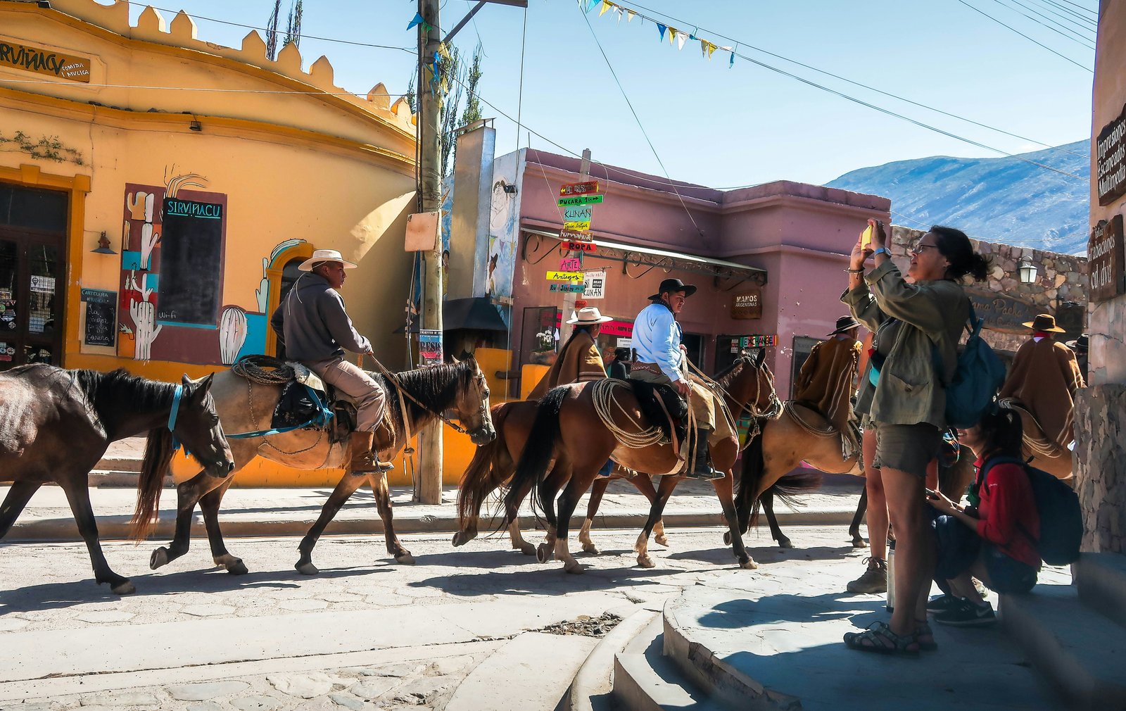 Town2.465 m
Tilcara
Tilcara, known as the archaeological capital of the Quebrada, is a vibrant town at 2,465 meters combining pre-Hispanic ruins, contemporary art, and a growing food scene. Its main attraction is the Pucará de Tilcara, a restored pre-Inca fortress overlooking the valley. The town also houses the Eduardo Casanova Archaeological Museum, art galleries, folklore venues, and the famous Tilcara Carnival in February. It's the most touristic town in the Quebrada, with the best accommodation and restaurant infrastructure.
Explore
Humahuaca
Humahuaca is the town that gives the Quebrada its name and marks its northern end, at 2,939 meters altitude. Its historic center, declared a World Heritage Site, features cobblestone streets, the Cathedral Church, and the iconic Monument to Independence Heroes carved into the hillside. From here you can reach Cerro Hornocal (14 Colors Mountain Range), one of Argentina's most spectacular landscapes, at 4,350 meters. Humahuaca is less touristy than Purmamarca or Tilcara, giving it a special authenticity.
Explore