Elevations in meters and feet above sea level, sorted from lowest to highest by region:
- Yungas / Calilegua National Park: from below 500 m (1,640 ft) up to 3,646 m (11,962 ft) at Cerro Amarillo
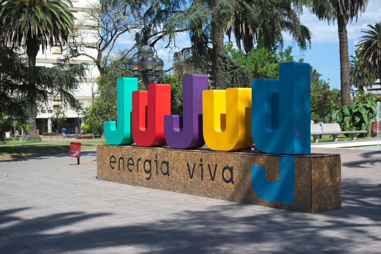
- San Salvador de Jujuy: 1,259 m (4,131 ft)
- Termas de Reyes hot springs: about 1,800 m (5,900 ft)
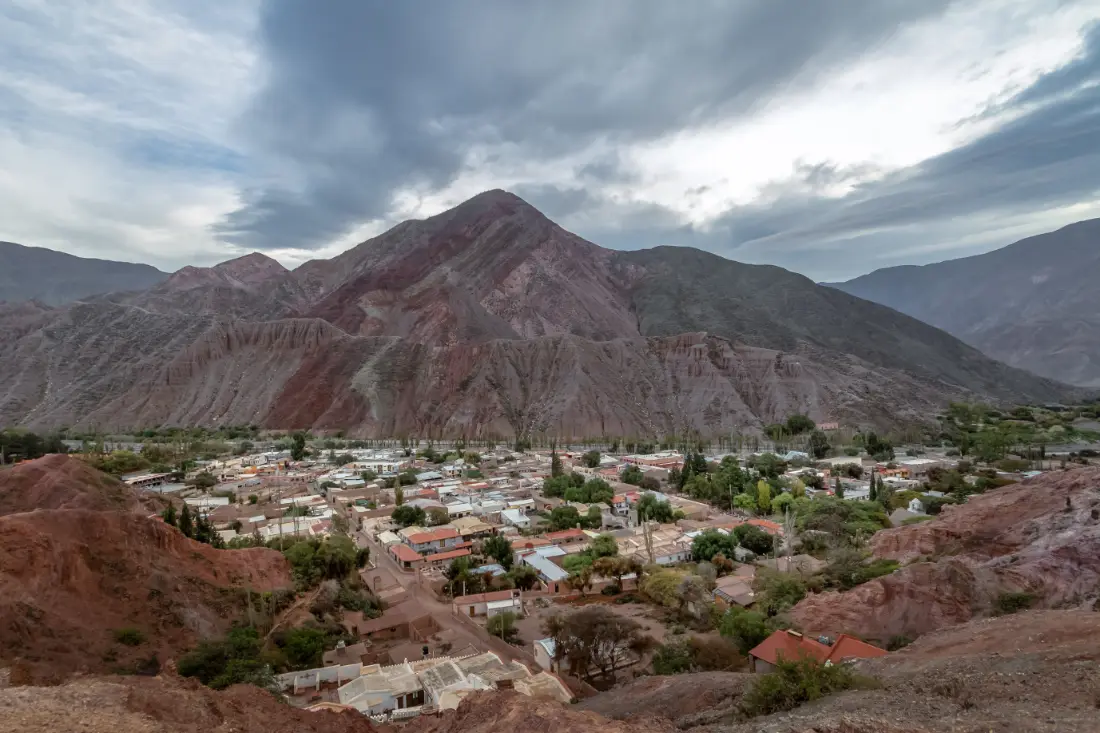
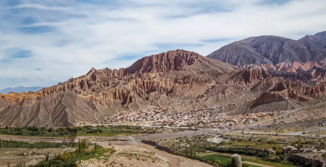
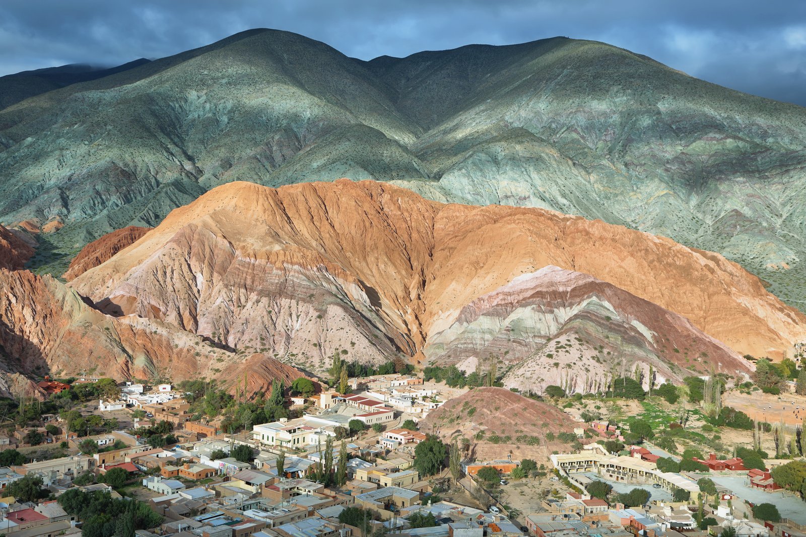
- Purmamarca: 2,324 m (7,625 ft)
- Maimará: 2,383 m (7,818 ft)
- Tilcara: 2,465 m (8,087 ft)
- Iruya (Salta province): 2,780 m (9,121 ft)
- Uquía: 2,818 m (9,245 ft)
- Humahuaca: 2,939 m (9,642 ft)
- La Quiaca: 3,442 m (11,293 ft)
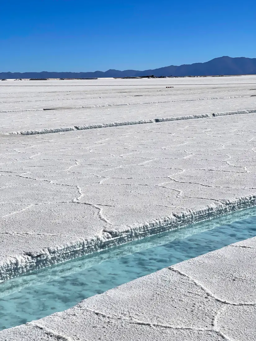
- Salinas Grandes: 3,450 m (11,319 ft)
- Abra Pampa: 3,484 m (11,430 ft)
- Yavi: 3,516 m (11,535 ft)
- Susques: 3,675 m (12,057 ft)
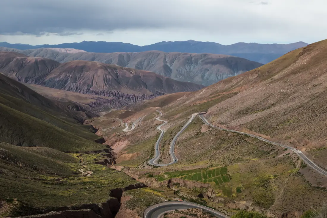
- Cuesta de Lipán pass: 4,170 m (13,681 ft)
- Paso de Jama (Chile border): 4,200 m (13,780 ft)
- Hornocal viewpoint: 4,350 m (14,272 ft)
The whole Quebrada de Humahuaca is a valley that climbs steadily north along National Route 9: the further you get from the capital, the higher you sleep. The Puna, to the west and north, is a high plateau roughly between 3,300 and 4,600 m (10,800 to 15,100 ft).