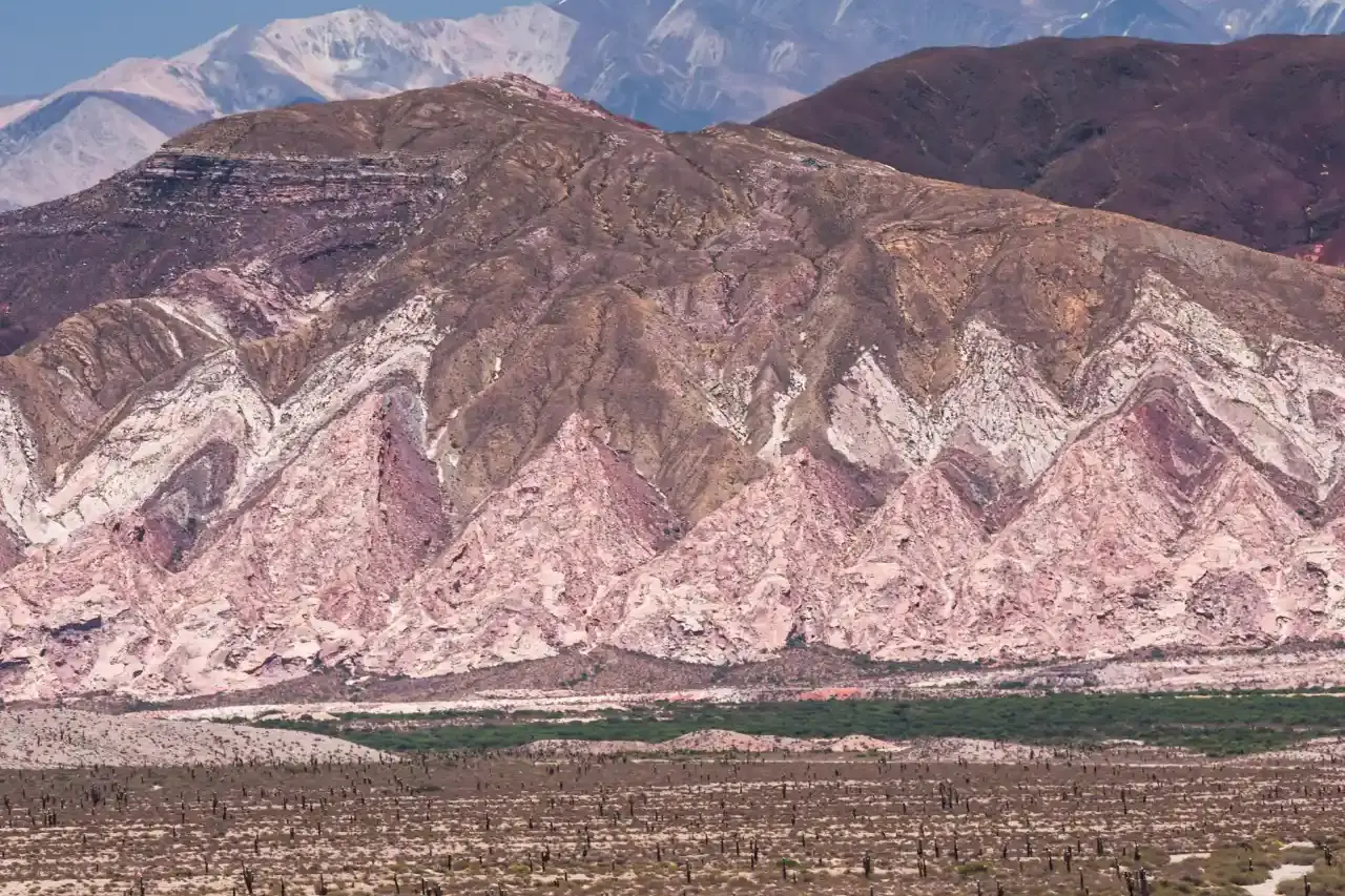
Cachi is a colonial village of cobbled streets and whitewashed adobe houses at 2,280 m (7,480 ft) in the northern Calchaquí Valleys, about 157 km (98 miles) from Salta city. Getting there is half the fun: Provincial Route 33 climbs the hairpins of the Cuesta del Obispo to the Piedra del Molino pass at 3,348 m (10,985 ft), then runs through Los Cardones National Park on the arrow-straight Recta del Tin Tin. Allow 3 to 4 hours of driving, including a gravel stretch that started to be paved in 2026. You can do it as a day trip, but two nights is ideal, and adventurous drivers can continue south on Ruta 40 to Cafayate.
How to Get to Cachi from Salta
The classic route covers 157 to 160 km and takes 3 to 4 hours without stops; with photo stops, it fills most of a day. Here it is leg by leg:
- Salta to El Carril: about 45 km south on RN 68 through the Lerma Valley.
- El Carril to the Quebrada de Escoipe: on RP 33 you pass Chicoana and enter a narrow green gorge of mountain forest, crossing the river several times.
- Cuesta del Obispo: about 20 km of switchbacks climbing to the Piedra del Molino at 3,348 m, 93 km from Salta.
- Los Cardones and the Recta del Tin Tin: the road dips through Cachipampa, enters the national park and runs dead straight for about 18 km (11 miles) among giant cactus.
- Payogasta and Cachi: at the end of the straight you join Ruta 40, pass Payogasta and reach Cachi about 10 km later.
Without a car you have three options. Ale Hermanos buses leave Salta's terminal and stop in every village, so they're slower than driving. Shared and private remís (taxi) services run on fixed schedules, and Salta agencies sell full-day tours that pick you up between 7 and 7:45 am and return from 6:30 pm. Compare departures on our tours page.
If you're driving yourself, fill up in Salta and leave early so you tackle the pass in daylight. See our car rental page; in the dry season a compact car is fine if you take it slowly.
Cuesta del Obispo and Piedra del Molino: Road Conditions in 2026
The Cuesta del Obispo (Bishop's Slope) is the showstopper: a mountain road climbing out of the Quebrada de Escoipe through high grassland, often with clouds below you and condors gliding close by. A few hundred meters before the top there's a viewpoint that takes in almost the whole climb.
At the Piedra del Molino, the highest point on the road, you'll find a small stone chapel and the huge granite millstone that names the spot. Legend says it was left behind when the cart carrying it broke down, and nobody ever came back for it.
- Gravel: in 2026 the pass still has about 15.5 km (10 miles) of unpaved road, wide and constantly maintained but with loose stones and washboard.
- Roadworks: in August 2026 Salta's highway department announced it would pave that stretch and repair about 20 km of broken asphalt lower down, between Mal Paso and the foot of the pass. Work runs into 2027, so expect machinery and short waits.
- Rain: from December to March, storms can wash mud and rocks onto the road. Check conditions before you set off.
At 3,348 m you may feel the altitude if you've come straight from sea level: get out of the car slowly, drink water and don't exert yourself. If you've never been this high, read our guide to acclimatizing to altitude.
Los Cardones National Park and the Recta del Tin Tin
Los Cardones National Park was created in 1996 and protects 64,117 hectares (about 158,000 acres) between 2,600 m and summits above 5,000 m. It's named for the cardón, a towering columnar cactus that grows only half an inch or so a year, which means the tallest ones beside the road may be centuries old. This is the area with the greatest cactus diversity in Argentina.
- Recta del Tin Tin: a perfectly straight, paved 18 km at about 3,000 m (9,800 ft). Historical accounts say it was laid out by Indigenous peoples and likely formed part of an Inca road.
- Roadside trails: Secretos del Cardonal, at km 85 of RP 33, for a close look at plants and wildlife; and Caminos del Pasado, at km 90, a short viewpoint trail with signs about the Inca road.
- Valle Encantado (Enchanted Valley): a steep 4 km side road near the Piedra del Molino leads to colorful rock formations, a small lagoon and rock shelters with ancient paintings. Skip it if the track is wet.
- Wildlife: with luck you'll spot guanacos, condors and, in the high grasslands, the rare taruca (Andean deer).
Facilities along the road are minimal, so bring water, sunscreen and a hat; there's almost no shade.
Things to Do in Cachi and Around
Cachi grew up where the Cachi and Calchaquí rivers meet and keeps its colonial layout: whitewashed adobe houses, raised stone sidewalks, wrought-iron window grilles and irrigation channels running along the streets. To the west rises the Nevado de Cachi, a range of nine summits topping out at 6,380 m (20,930 ft).
- Main square: the heart of town, with cafés, the museum's arcade and the church.
- San José church: from the 18th century and a National Historic Monument since 1945, with adobe walls, a three-bell belfry and a ceiling made of cardón cactus wood.
- Pío Pablo Díaz Archaeological Museum: next to the church in a 1920 house, it holds more than 5,000 pieces from the region and traces the valley's story from the first settlers to the Spanish conquest. Allow about 45 minutes.
- Cachi Adentro: 6 km away, a hamlet of orchards, small vineyards and farms with the best view of the Nevado. Walk or cycle there.
- Payogasta: 10 km north, where red peppers are laid out in the fields to dry for paprika.
- Seclantás and Molinos: south on Ruta 40, home to poncho weavers' workshops and Molinos' old church and mansions.
- Colomé: about 65 km from Cachi (1.5 to 2 hours) on RP 53, a winery with some of the world's highest vineyards, a hotel and the only museum devoted entirely to American light artist James Turrell. Book before you go.
If you can, time your visit for March 18 and 19: on the eve of the San José patron saint festival locals hold the traditional burning of cardón wood, and on the 19th there's a Mass, a procession with family saint images (misachicos) and a gaucho parade.
Cachi to Cafayate on Ruta 40: Gravel Road Conditions
From Cachi, Ruta 40 runs south down the length of the Calchaquí Valley to Cafayate: about 157 km (98 miles) through Seclantás, Molinos, Angastaco and San Carlos. It's the most remote leg of the loop and one of the most beautiful.
- Surface: almost all gravel, about 130 km. Only the San Carlos to Cafayate stretch is paved.
- Roadworks: paving between Molinos and Seclantás, about 17 km, stalled in 2023, and the province announced its restart in October 2026. In August 2026 Salta's civil defense office advised that section only for high-clearance vehicles at no more than 40 km/h (25 mph) because of potholes, loose gravel and dips.
- Time: plan on 4 to 5 hours of driving and a full day with stops.
- Quebrada de las Flechas: the highlight, about 10 km of gravel 2 km from Angastaco, among tilted rock blades some 20 million years old. Stop at the El Ventisquero viewpoint.
- Fuel: fill up in Cachi; there's nowhere reliable to buy gas until Cafayate.
- Fords and rain: in summer the rivers rise and can block the road for hours. Ask about conditions in Cachi before setting out.
You don't need 4WD in the dry season, but an SUV or higher-clearance car is far more comfortable. At the other end, our Cafayate travel guide picks up the story.
Where to Stay in Cachi
Cachi is small and almost everything is a few blocks from the square, but there are also farm stays nearby.
- El Cortijo Hotel Boutique: a former colonial house turned boutique hotel, built with local stone, with a restaurant.
- Hostería ACA Cachi: the classic Automobile Club inn on a natural balcony above the valley, with a pool and restaurant; ACA members get a discount.
- La Merced del Alto: an elegant hotel in Fuerte Alto, about 2 km from the center, with a spa, pool and a wine cellar offering tastings.
- Loma Puskana: a small inn with a seasonal pool, garden and restaurant.
- Finca La Paya: a rural guesthouse about 8 km out on the road to Molinos, with home-cooked meals.
- Viracocha Art Hostel: 50 m from the square, for a simple, budget stay.
Farther south, Estancia Colomé has nine rooms among the vines. Book ahead for Easter week, July and the San José festival. Compare options on our hotels page.
How Many Days to Spend and When to Go
- Day trip from Salta: about 320 km (200 miles) round trip and more than 6 hours of driving. You'll see the pass, Los Cardones and the square, but not much more.
- Two nights, the sweet spot: drive up unhurried on day one; spend day two on the village, the museum, Cachi Adentro and Payogasta; on day three return to Salta or continue to Cafayate.
- Three nights: add Colomé or a guided hike in the hills.
The full loop is Salta, Cafayate, Ruta 40 to Cachi and back over the Cuesta del Obispo, or the reverse. It's part of our 7- to 10-day northern Argentina road trip. For your time in the city, see things to do in Salta.
Weather: the area is arid, with less than 200 mm (8 in) of rain a year, more than 90% of it between October and March. From April to November days are sunny and the gravel is firm; summer highs can reach 30 °C (86 °F), and winter nights drop below freezing, so pack a warm layer whatever the season.
Frequently Asked Questions
Ready to travel?
Compare hotels, car rentals and tours in Jujuy.
Related Articles
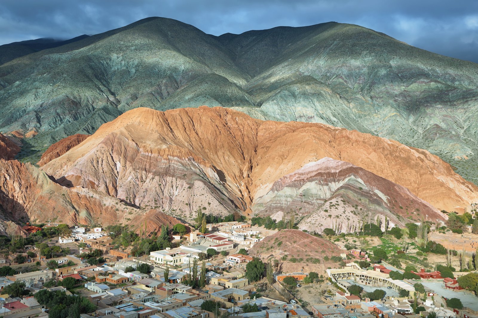
Quebrada de Humahuaca: Complete 2026 Guide — What to See, How to Get There & Where to Stay
Updated guide to the Quebrada de Humahuaca. UNESCO Heritage, towns, routes, accommodation and practical tips for your Jujuy trip.
Read more →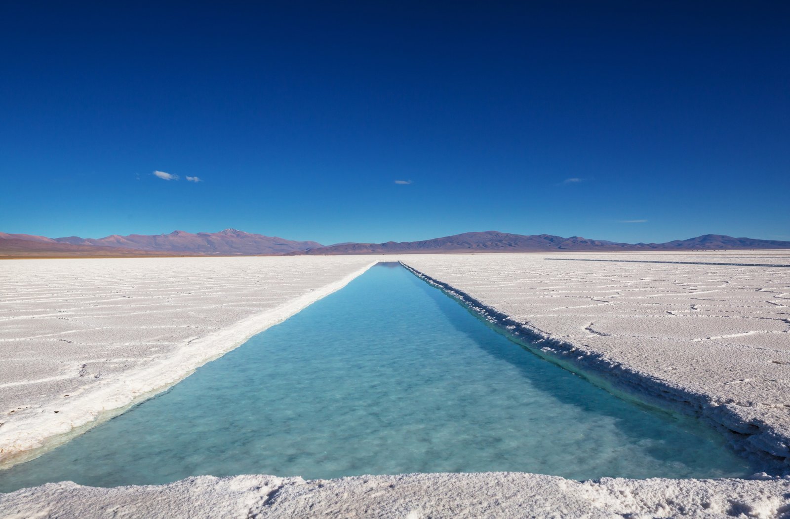
Salinas Grandes: How to Get There, Prices & Practical Tips
Everything about Jujuy's Salinas Grandes: routes, costs, best season, tours and tips for the perfect excursion from Purmamarca.
Read more →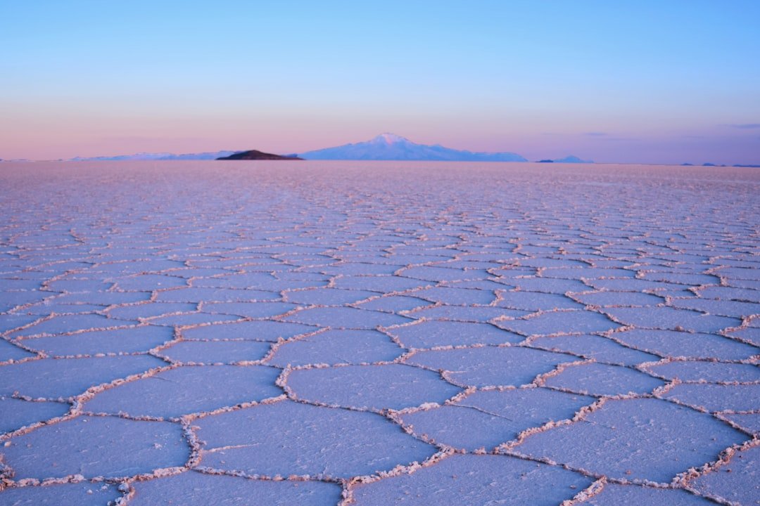
Salinas Grandes Jujuy: Complete Guide — How to Get There, What to See & Responsible Tourism
Complete guide to Jujuy's Salinas Grandes: how to get there from Purmamarca, Lipán pass, indigenous cooperative, best season and practical tips.
Read more →