Salinas Grandes
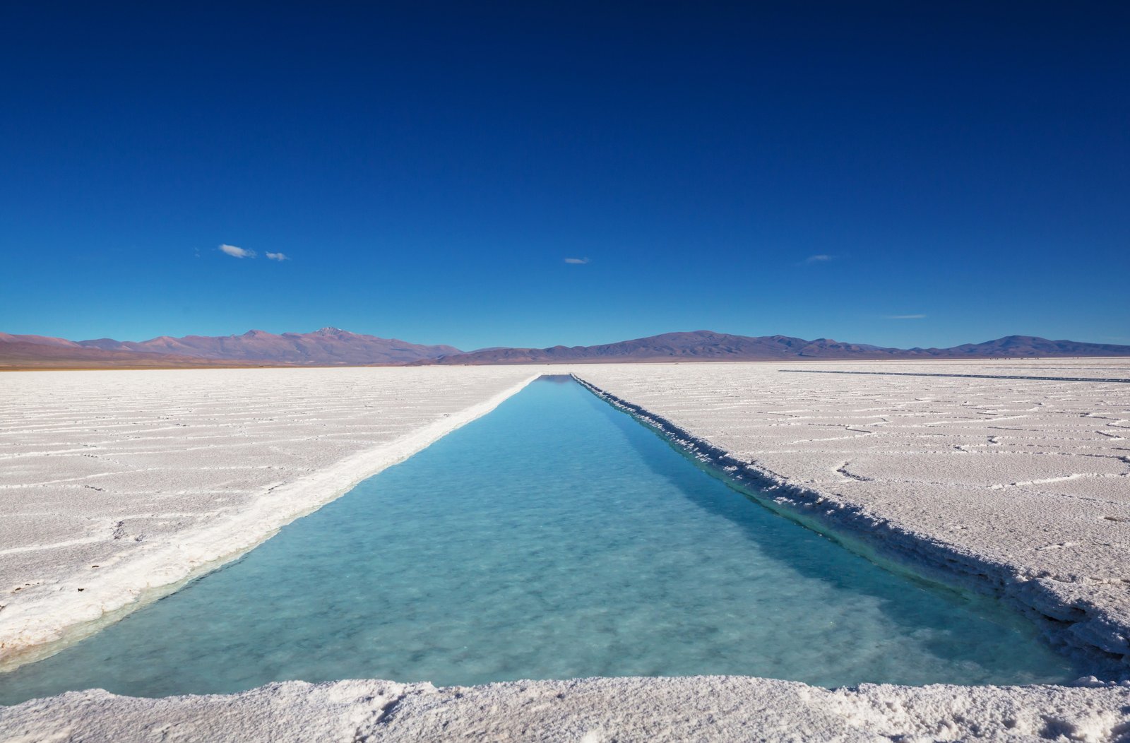
The Salinas Grandes of Jujuy are a salt desert of about 212 km² at 3,450 meters altitude, on the border between Jujuy and Salta provinces. This immense white expanse stretching to the horizon creates one of northwestern Argentina's most striking landscapes. Reached from Purmamarca via the Cuesta de Lipán, a winding road reaching 4,170 meters at the Abra de Potrerillos before descending to the salt flat. Indigenous communities have extracted salt by hand here for centuries, and visitors can see the extraction pools and purchase salt crafts. The best time to photograph is at noon, when the sun is at its peak and the sky's reflection on the salt creates a unique mirror effect.
Salinas Grandes: quick facts
- Altitude
- 3,450 m (about 11,300 ft) above sea level
- Size
- roughly 212 km² (82 sq mi) of salt crust
- Location
- Jujuy–Salta border, on National Route 52
- Highest point en route
- 4,170 m (13,680 ft) at Cuesta de Lipán
- From Purmamarca
- 66 km (41 mi), about 1 h 25 min
- From San Salvador de Jujuy
- about 130 km (81 mi), around 2 h 30 min
- From Salta city
- about 250 km (155 mi), 4+ hours each way
- Guided visit
- run by local community guides, from 8:30 am
- Fuel
- fill up before the climb: next station is in Susques
How high are the Salinas Grandes?
The Salinas Grandes salt flats sit at 3,450 meters (about 11,300 feet) above sea level, on the Puna high plateau along National Route 52, right on the border between Jujuy and Salta provinces. That is the average altitude published by Argentina's national tourism office, and it is the figure you will see on the sign at the visitor stop.
What catches most visitors out is that the road climbs even higher before it gets there. From Purmamarca, the Cuesta de Lipán pass tops out at around 4,170 m (13,680 ft) before dropping down to the salt. You go from a Quebrada village to over 4,000 meters in little more than an hour, and your body will notice.
- San Salvador de Jujuy: 1,259 m (4,130 ft)
- Purmamarca: the usual starting point, roughly 1,250 m lower than the salt flats
- Cuesta de Lipán summit: 4,170 m (13,680 ft)
- Salinas Grandes: 3,450 m (11,300 ft)
If you are flying in from sea level, spend at least one night in the Quebrada before heading up, drink plenty of water and take it slowly when you step out of the car. Our Jujuy altitude guide lists every town so you can plan your acclimatization.
What to see at the salt flats
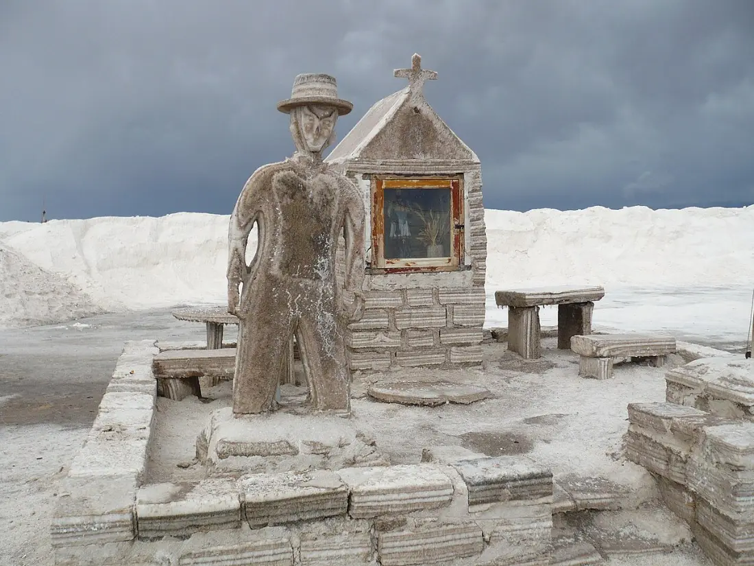
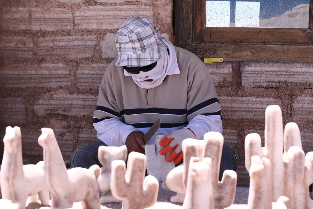
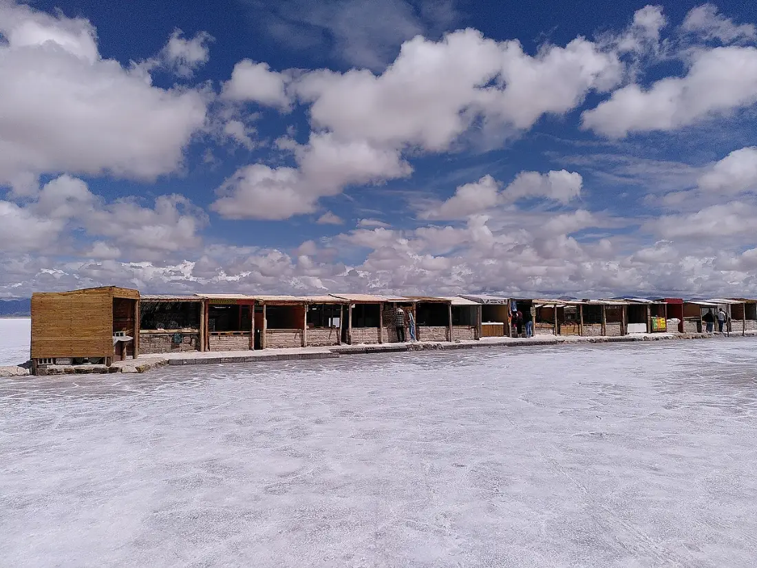
Next to the highway there is a roadside stop with parking, stalls selling crafts and salt carvings, and the yard where the salt is processed. This is where the visit into the salt flat starts, and it is run by guides from the local Indigenous communities. Many of them are the same salt workers who still harvest salt by hand.
The guided circuit takes about an hour and a half and usually has two stops:
- The evaporation pools: neat rectangles cut into the crust where brine evaporates and the salt is harvested. Your guide explains the process and why you should never step into them.
- The "ojos del salar" (eyes of the salt flat): springs that bubble up through the crust and form deep blue pools, one of the most photogenic spots.
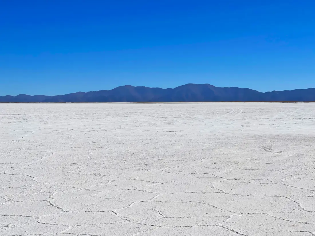
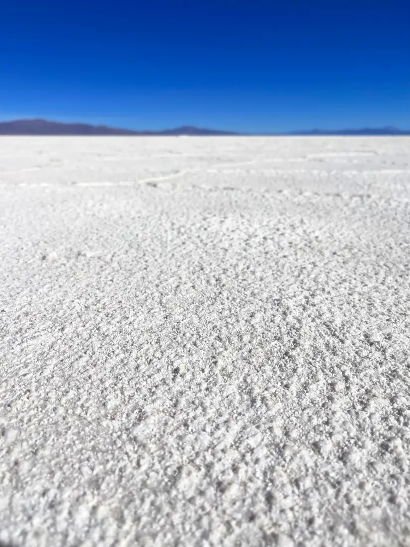
Beyond that it is pure scale. The white crust breaks into polygons that repeat to the horizon, and on clear days you can pick out the snowcapped Nevado de Chañi and the Tuzgle volcano in the distance. With no reference points, it is the perfect place for those classic forced-perspective photos.
In the rainy season, when a thin sheet of water covers parts of the flat, you get the famous mirror effect: the sky reflects on the ground and the photos look completely different. It is less predictable, but well worth it if you catch it.
How to get to Salinas Grandes
There is no public transport designed for visiting the salt flats, so your two practical options are driving (your own car or a rental) or joining a tour.
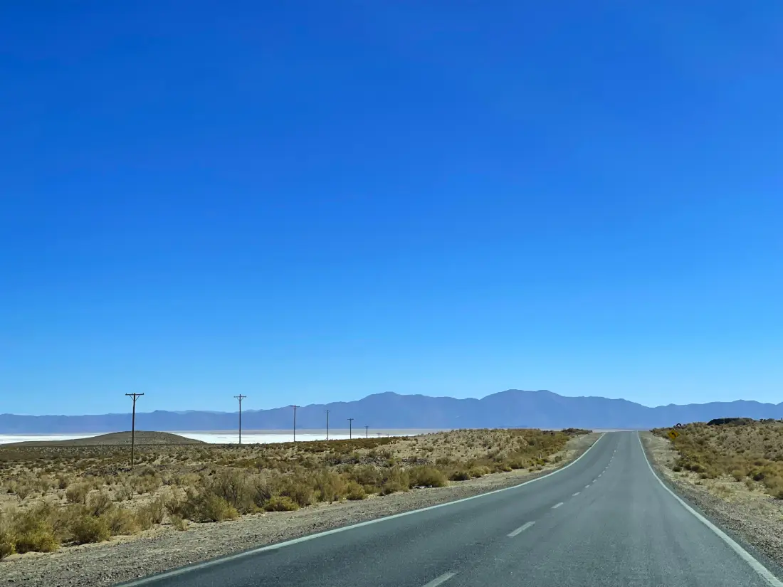
Driving from Purmamarca: head west on Route 52 and climb the Cuesta de Lipán. It is 66 km (41 mi) of paved road and about 1 h 25 min without stops. The road is a cliff-edge series of tight switchbacks, so take it slowly and use the pull-outs. Our Purmamarca to Salinas Grandes drive covers the route bend by bend. Argentina drives on the right, and you will want a car you are comfortable handling on steep grades.
From San Salvador de Jujuy: take Route 9 north to Purmamarca (65 km) and then Route 52. Allow about 130 km (81 mi) and 2 h 30 min without stops.
From Salta: it is around 250 km (155 mi) and more than four hours each way, via the toll highway to Jujuy and then up the Quebrada. A same-day round trip means over eight hours at the wheel, which is why it makes more sense to overnight in Purmamarca.
From the airport: Jujuy's Horacio Guzmán International Airport is in Perico, about 33 km south of the city, and has car rental desks, so you can drive straight to the Quebrada. Most international visitors connect through Buenos Aires; see how to get to Jujuy for flights, buses and driving routes.
On a tour: departures run daily from Purmamarca, Tilcara, San Salvador de Jujuy and Salta, usually combining the salt flats with the Lipán pass and Purmamarca. Note that on most tours the community-guided visit inside the salt flat is paid separately on site. You can compare options in our Jujuy tours section.
Fill up in San Salvador or Tilcara (Purmamarca has no gas station): the next one is in Susques, roughly 135 km (84 mi) away.
Where to stay near Salinas Grandes
There are no hotels on the salt flats themselves. The classic base is Purmamarca, an hour and a half away, which has the widest range of places to stay and sits much lower, so you will sleep better. A few options we have confirmed:
- El Manantial del Silencio (Purmamarca): colonial-style boutique hotel on Route 52, about 500 meters from the village, with a spa, heated pool and restaurant.
- La Comarca Hotel (Purmamarca): rooms, cabins and a pool, also on Route 52 on the way out of town toward the salt flats.
- Hotel Pumahuasi (Purmamarca): five-room boutique hotel on the main avenue, a short walk from the square.
- Posada del Silencio (Pozo Colorado): adobe guesthouse in a small community about 3 km from the salt flat, ideal for sunrise or sunset on the salt.
- Pristine Salinas Grandes: luxury dome camp with a meeting point in Tres Morros, built around stargazing.
Susques, higher up on the Puna on the way to the Jama Pass, has simple lodgings for travelers continuing to Chile. If you want more restaurants and nightlife, Tilcara is about two hours away. For more choices, see our guide to where to stay in Purmamarca.
Weather by season
The Puna is dry, cold and extremely sunny. Rainfall is low, around 300 to 400 mm (12 to 16 inches) a year, and nearly all of it falls in summer. The average annual temperature is about 8.6 °C (47 °F), with huge swings between day and night. Remember the seasons are reversed from the Northern Hemisphere.
- Summer (December to March): the rainy season. The flat may flood and give you the mirror effect, but afternoon storms are common and heavy rain can close sections or the access road.
- Fall (April and May): the dry season begins. The crust hardens and turns bright white; pleasant days, cold nights.
- Winter (June to August): clear skies and strong sun, but nighttime lows can drop to around −15 °C (5 °F). July is school-holiday season in Argentina and busier.
- Spring (September to November): great visibility and fewer people, though afternoons are often very windy.
For walking on a dry, white crust, aim for April to November. If you are after the mirror effect, try January or February and keep your plans flexible. Month-by-month details are in our best time to visit Jujuy guide.
Tours and how to plan the day
The most natural plan is to leave Purmamarca early, reach the salt flats mid-morning and drive back with the afternoon light on the Hill of Seven Colors. That way you dodge the harshest midday sun and avoid descending the Lipán pass after dark.
Other ways to fit it in:
- From Tilcara or San Salvador: a full-day tour that adds Purmamarca and stops along the Lipán pass.
- From Salta: a very long day of around 12 hours; better to break it with a night in the Quebrada.
- Heading to Chile: Route 52 continues through Susques to the Jama Pass and on to San Pedro de Atacama, so the salt flats are right on your way.
- With your own car and more time: stay for sunset and sleep in Pozo Colorado, or get back to Purmamarca before dark.
Short on time? Our 3–4 day Jujuy itinerary shows where the salt flats fit without rushing. If you are spending the night in the village, the Purmamarca page will help you plan the evening.
Practical tips
- Bring Argentine pesos in cash: community guides charge at the visitor stop and cell signal is very limited, so do not count on card or app payments. Rates change often, so ask when you arrive.
- Do not wander into the working area or drive on unmarked tracks. The salt flat is community land and the surface can be deceptive.
- Pack UV-rated sunglasses, high-SPF sunscreen, a hat and lip balm: the glare off the salt is as strong as on snow.
- Bring a warm layer even if Purmamarca feels hot. It gets windy up top and temperatures drop fast in the afternoon.
- Carry water and snacks; the stalls at the stop are basic.
- Leave the salt and rocks where they are, and take your trash back to town.
- Plan to drive back in daylight: the Lipán pass at night, with ice or fog, is dangerous.
- If you get a strong headache or feel dizzy, head down. Symptoms usually ease as you lose altitude.
Salinas Grandes travel guides
- Salinas Grandes: How to Get There, Prices & Practical Tips →
- Salinas Grandes Jujuy: Complete Guide — How to Get There, What to See & Responsible Tourism →
- Purmamarca to Salinas Grandes: Driving the Cuesta de Lipán (2026) →
- Jujuy to San Pedro de Atacama via Paso de Jama: 2026 Guide →
- Jujuy to the Uyuni Salt Flat via La Quiaca and Villazón (2026) →
What to See & Do in Salinas Grandes
How to Get to Salinas Grandes
From Purmamarca: 65 km via RN 52, approximately 1h30. Recommended with tour or own car. No regular public transport.
Frequently Asked Questions
What is the altitude of Salinas Grandes?
Salinas Grandes sits at 3,450 meters (about 11,300 feet) above sea level. The road from Purmamarca crosses the Cuesta de Lipán pass at around 4,170 m (13,680 ft) before descending to the salt flat.
How do I get to Salinas Grandes from Salta?
Drive the toll highway to San Salvador de Jujuy, then Route 9 to Purmamarca and Route 52 over the Lipán pass, roughly 250 km and over four hours each way. Many visitors take a full-day tour or overnight in Purmamarca instead.
Can I visit Salinas Grandes without a car?
Yes, on a tour from Purmamarca, Tilcara, San Salvador de Jujuy or Salta. There is no public transport set up for visiting the salt flats, so a tour is the easiest option without a vehicle.
Is there an entrance fee?
Stopping at the edge and looking out from the road is free; the visit into the salt flat is led by community guides and paid in cash at the roadside stop. Prices change often, so check when you arrive.
When is the best time to visit Salinas Grandes?
April to November, the dry season, when the crust is firm and white. From January to March rain can create the mirror effect, though it sometimes restricts access.
Where should I stay to visit the salt flats?
Purmamarca, 66 km away, is the most convenient base with the widest choice of hotels. To be closer, there are guesthouses in nearby communities such as Pozo Colorado and a luxury dome camp near Tres Morros.
Is Salinas Grandes the same as the Uyuni salt flat?
No. Uyuni is in Bolivia and is far larger; Salinas Grandes is in northern Argentina and is much easier to reach as a day trip from the Quebrada de Humahuaca.
Will I get altitude sickness at Salinas Grandes?
Some visitors feel headaches or dizziness, especially at the 4,170 m pass. Spending a night in the Quebrada first, drinking water and moving slowly helps, and symptoms usually ease as you descend.
How to get to Salinas Grandes?
From Purmamarca: 65 km via RN 52, approximately 1h30. Recommended with tour or own car. No regular public transport.
What to do in Salinas Grandes?
Salt extraction pools. Mirror photo effect. Cuesta de Lipán scenic drive. Salt crafts. Abra de Potrerillos viewpoint (4,170m).
Nearby Destinations
 Town2.324 m
Purmamarca
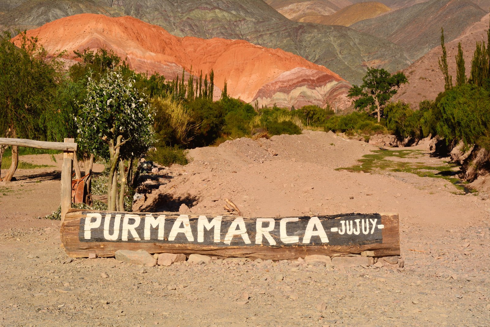
Purmamarca is a small gem nestled at the foot of the legendary Hill of Seven Colors, at 2,324 meters altitude and just 65 km from San Salvador de Jujuy. This town of dirt streets and adobe houses preserves its colonial and pre-Hispanic essence like few places in Argentina. Its central plaza, surrounded by a permanent artisan market, is the starting point for the Paseo de los Colorados (a 3 km circuit around multicolored rock formations), visiting the Santa Rosa de Lima church (17th century), and watching the sunset over the hill. Purmamarca is also the gateway to the Salinas Grandes via the spectacular Cuesta de Lipán, ascending to 4,170 meters.
Explore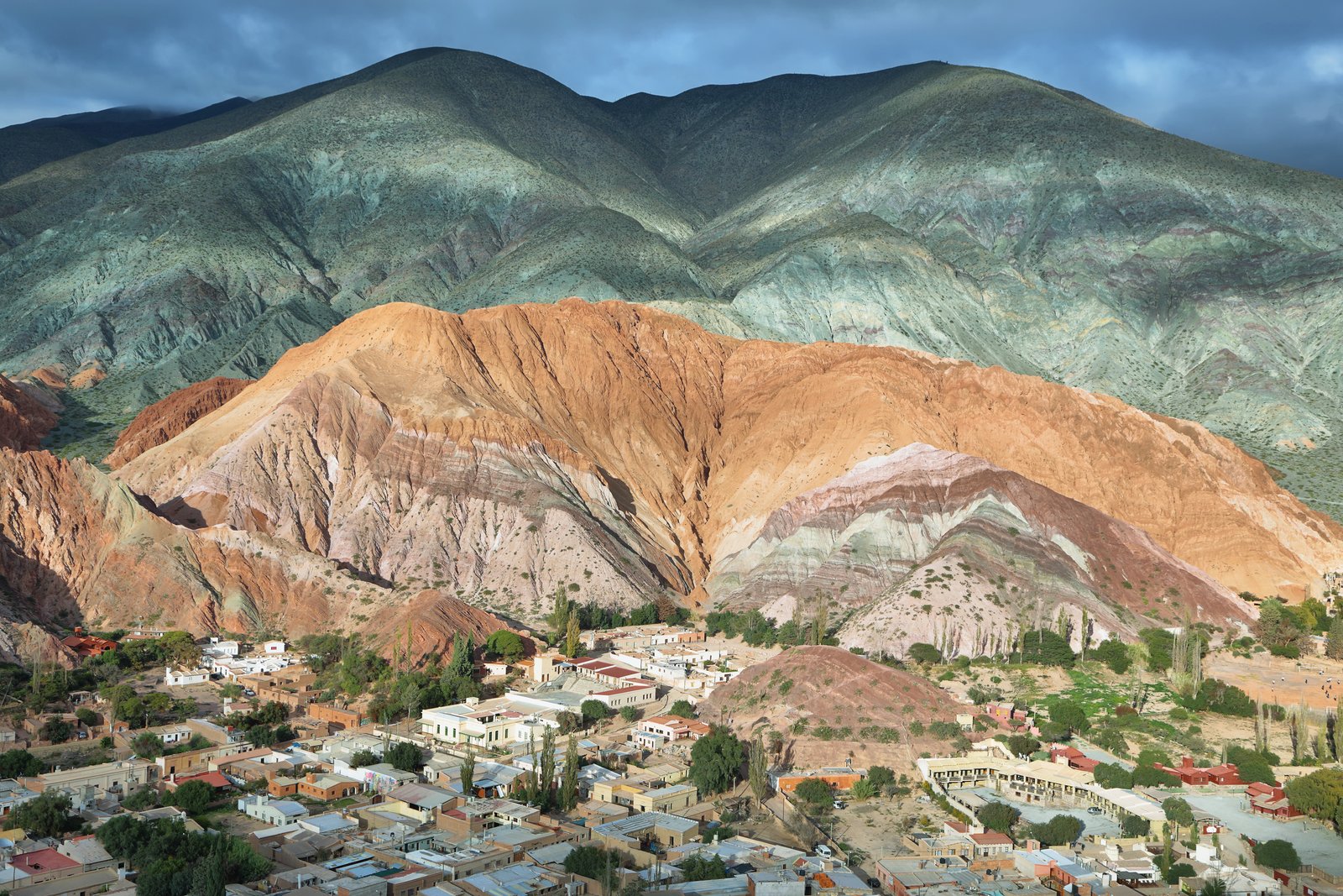 UNESCO Heritage1.640 – 3.690 m
Quebrada de Humahuaca
The Quebrada de Humahuaca, declared a UNESCO World Heritage Site in 2003, is a stunning 155 km valley stretching along the Río Grande, surrounded by multicolored mountains reaching over 4,000 meters. This natural corridor was part of the Inca Trail and today connects Jujuy's most iconic towns: Purmamarca, Tilcara, Maimará, and Humahuaca. Its geological formations, millions of years old, paint a landscape of reds, ochres, greens, and purples that shift with daylight. The Quebrada combines pre-Columbian archaeology, colonial architecture, living indigenous culture, and unique Andean gastronomy. It is the essential destination of any trip to northwestern Argentina.
Explore