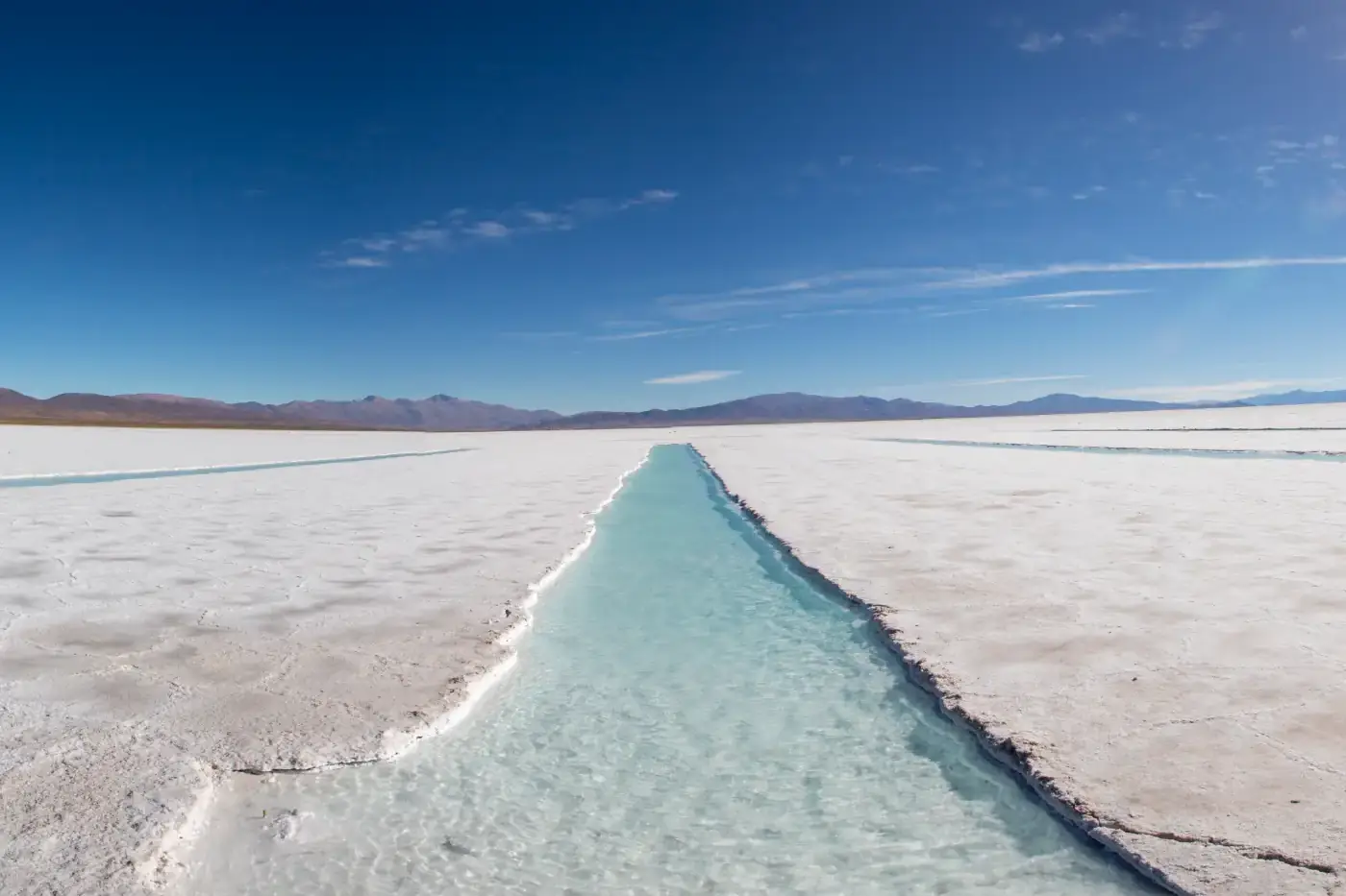
Purmamarca to Salinas Grandes is 66 km (41 miles) on Ruta Nacional 52, a fully paved highway, and the drive takes 1 h 15 min to 1 h 30 min without stops; allow about two hours with photo breaks. The highlight is the Cuesta de Lipán, a series of hairpin bends that climbs from Purmamarca, at 2,324 m (7,625 ft), to the Abra de Potrerillos pass at 4,170 m (13,680 ft), the highest point of the drive. From there the road drops onto the high Andean plateau known as the Puna and crosses the salt flat at roughly 3,450 m (11,300 ft). This guide is about the journey itself: what the road is like, how to handle the altitude, how to go without a car and what to do next, whether you head back or continue to Susques and Chile.
Distance and Drive Time, Kilometer by Kilometer
RN 52 branches off RN 9 at the Purmamarca junction, and it is the same highway that continues to the Jama Pass on the Chilean border. Argentina's tourism ministry lists it as one of its official scenic routes, the Cuesta de Lipán, and the national roads agency has put up information signs along the first 43 km.
Here is how the drive breaks down from Purmamarca:
• Km 0, Purmamarca (2,324 m / 7,625 ft): the last village with services before the climb.
• First stretch: the road follows the valley on a gentle gradient, between colorful hills and giant cacti.
• The Lipán switchbacks (about 17 km): the famous part, with hairpin bends that gain height very fast.
• Around km 37, Abra de Potrerillos (4,170 m / 13,680 ft): the top of the road.
• Down onto the Puna: about 30 km of open plateau, with wild vicuñas and llamas by the road.
• Km 66, the Salinas Grandes visitor area (about 3,450 m / 11,300 ft).
In total you climb almost 2,000 m (6,500 ft) in under an hour of driving. From San Salvador de Jujuy, the provincial capital, the salt flat is about 130 km (80 miles) away, roughly 2 h 30 min without stops.
The Cuesta de Lipán: Hairpins, Viewpoints and the Pass
The climb is the reason this trip is as memorable as the destination. The road clings to the mountainside and folds back on itself again and again; from above, the stretches you have already driven look like a grey ribbon laid across the slope. A few hundred meters before the pass there is a viewpoint that takes in almost the whole climb. It is the classic photo, so pull well off the road before you stop.
At the Abra de Potrerillos there is a sign with the altitude that everyone photographs. Get out for a few minutes, but expect strong, cold wind even when it is warm down in Purmamarca, so bring a jacket year-round. Walk slowly: at 4,170 m any effort leaves you short of breath.
Past the pass the scenery changes abruptly. The colored mountains fall behind and the Puna opens up, a dry, golden high plateau. On a clear day, once you are on the Puna, you can make out the Nevado de Chañi and the Tuzgle volcano in the distance. Early morning and late afternoon give the best light for photographing the switchbacks.
Road Conditions and Driving at Altitude
RN 52 is paved all the way and generally in good condition, and you do not need a 4x4. What deserves your attention is this:
• Trucks: this is the freight corridor to Chile, so expect heavy trucks crawling up and down. Only overtake on straight stretches with clear visibility.
• Summer rains: from December to March, storms can wash mud and rocks onto the road. In April 2026, for example, a landslide closed the highway at Ronqui Angosto during Easter week.
• Winter: some cold fronts leave snow or ice on the upper switchbacks.
• Fog and darkness: avoid driving down the Cuesta at night or in fog.
Before setting off, check the daily road status report published by the Jujuy provincial police or Argentina's national roads agency (Vialidad Nacional), and ask at your hotel.
Car tips: fill up in San Salvador de Jujuy or Tilcara (Purmamarca has no gas station), as there are no fuel stations until Susques; use second or third gear on the way down to avoid overheating the brakes; and do not worry if the engine feels sluggish, which is normal in thin air. Remember that Argentina drives on the right. Cell coverage is patchy on the Puna, so download offline maps first. If you still need a vehicle, see our Jujuy car rental comparison.
Altitude Sickness: How to Handle the Climb
Going from 2,200 to 4,170 m (7,200 to 13,680 ft) in under an hour is a big jump, and many people feel a headache, light-headedness or shortness of breath at the pass and on the salt flat. Locals call it soroche. A few simple habits help a lot:
• Do not do this trip on the day you arrive from Buenos Aires or from abroad: spend one or two nights first in Purmamarca, Tilcara or the provincial capital.
• Drink plenty of water from the night before and keep breakfast light.
• Skip alcohol the night before.
• Move slowly when you get out of the car and do not rush for photos.
• If symptoms get worse, go down: most people recover quickly once they are back in Purmamarca.
Chewing coca leaves or drinking coca tea is a local tradition, and you will find the leaves in any corner shop; note that coca is illegal to carry into many countries, so do not take any home. If you are traveling with children, older relatives or anyone with a heart or lung condition, check with a doctor before your trip. Our full guide covers how to acclimatize to altitude in Jujuy.
Without a Car: Tours, Buses and Private Drivers
If you are not driving, you have three ways to get from Purmamarca to the Salinas Grandes:
• Organized tour: the easiest option. Tours leave from Purmamarca, Tilcara and San Salvador de Jujuy, and also from Salta on a much longer day. Some take half a day and others combine the salt flat with the Quebrada de Humahuaca. Compare departures on our Jujuy tours page.
• Public bus: Andes Bus and Travil run the San Salvador de Jujuy to Susques route, which stops in Purmamarca, climbs the Cuesta de Lipán and crosses the salt flat area. Buses run only some days of the week, mostly in the afternoon, so a same-day return is hard to arrange. If you use it, tell the driver you want to get off at the salt flat visitor area and check the return times at the bus terminal.
• Private driver: you can also hire a car with a driver who takes you up, waits and brings you back. Ask at your hotel and agree on the price and waiting time before you leave.
However you travel, the guided visit inside the salt flat is run by local Indigenous community guides and is usually paid separately.
What Awaits You at Salinas Grandes
On the Jujuy side, right on the highway, there is a visitor area with parking, craft stalls selling salt carvings and textiles, and places for a simple snack. This is where you book the visit into the salt flat, which is required to enter the working area: a community guide rides with you or leads in a vehicle, and you follow a marked circuit. The usual stops are the crystallization pools, where the guide explains how salt is harvested, and the ojos del salar, natural springs that well up through the white crust. The tour takes between 40 minutes and 1 h 30 min.
The Pozo Colorado Indigenous community, one of those that run the circuit, lists opening hours of 9 am to 6 pm from May to August and 8 am to 7 pm from September to April. Bring cash in Argentine pesos: the community sets the fee, it changes often, and card payment is not always possible.
We will not repeat everything we have already written about the salt flat here. For its history, the local cooperative, the best season and photo tips, read our complete Salinas Grandes guide, and for prices and tours, see Salinas Grandes: how to get there and prices.
Going Further: Susques and the Jama Pass to Chile
If you have more time, RN 52 stays paved as it heads west and becomes even more remote:
• Susques: about 135 km (84 miles) from Purmamarca and above 3,600 m (11,800 ft), this is the main town of Jujuy's Puna de Atacama. Its adobe chapel of Nuestra Señora de Belén dates from colonial times and is a National Historic Monument. There is a fuel station and simple lodging, so it works as an overnight stop.
• Jama Pass: the border complex is about 155 km (96 miles) beyond Susques, at around 4,200 m (13,800 ft). On the Chilean side it is about 160 km (100 miles) more to San Pedro de Atacama. Argentina's Interior Ministry lists opening hours of 8 am to midnight, but the pass can close for snow in winter, so check its status before you go.
To cross into Chile in a rental car you need written permission from the rental company to take the car abroad, which must be arranged in advance. And fill the tank in Susques before heading deeper into the Puna.
Near the salt flat, RN 52 crosses RN 40, which runs south on gravel to San Antonio de los Cobres in Salta province. It is a high-altitude dirt road best left to high-clearance vehicles, drivers with gravel experience and up-to-date road information.
The Drive Back and How to Plan Your Day
Most people return the same way, and that is no hardship: the Cuesta de Lipán looks completely different on the way down, with the Quebrada opening up ahead of you. A plan that works well:
• 8:30 to 9:00 am: leave Purmamarca with a full tank, water and warm layers.
• 9:30 am: stop at the viewpoint and the Abra de Potrerillos.
• 10:30 am to 12:30 pm: guided visit and time for photos on the salt flat.
• 1:00 pm: light lunch at the visitor area, or head back.
• 2:30 pm: back in Purmamarca for lunch and rest at lower altitude.
If you prefer afternoon light, reverse the schedule, but make sure you are coming down the switchbacks before dark. Ideally, spend that night in Purmamarca and catch the Hill of Seven Colors at sunrise the next morning; here are our picks for where to stay in Purmamarca.
Frequently Asked Questions
Ready to travel?
Compare hotels, car rentals and tours in Jujuy.
Related Articles
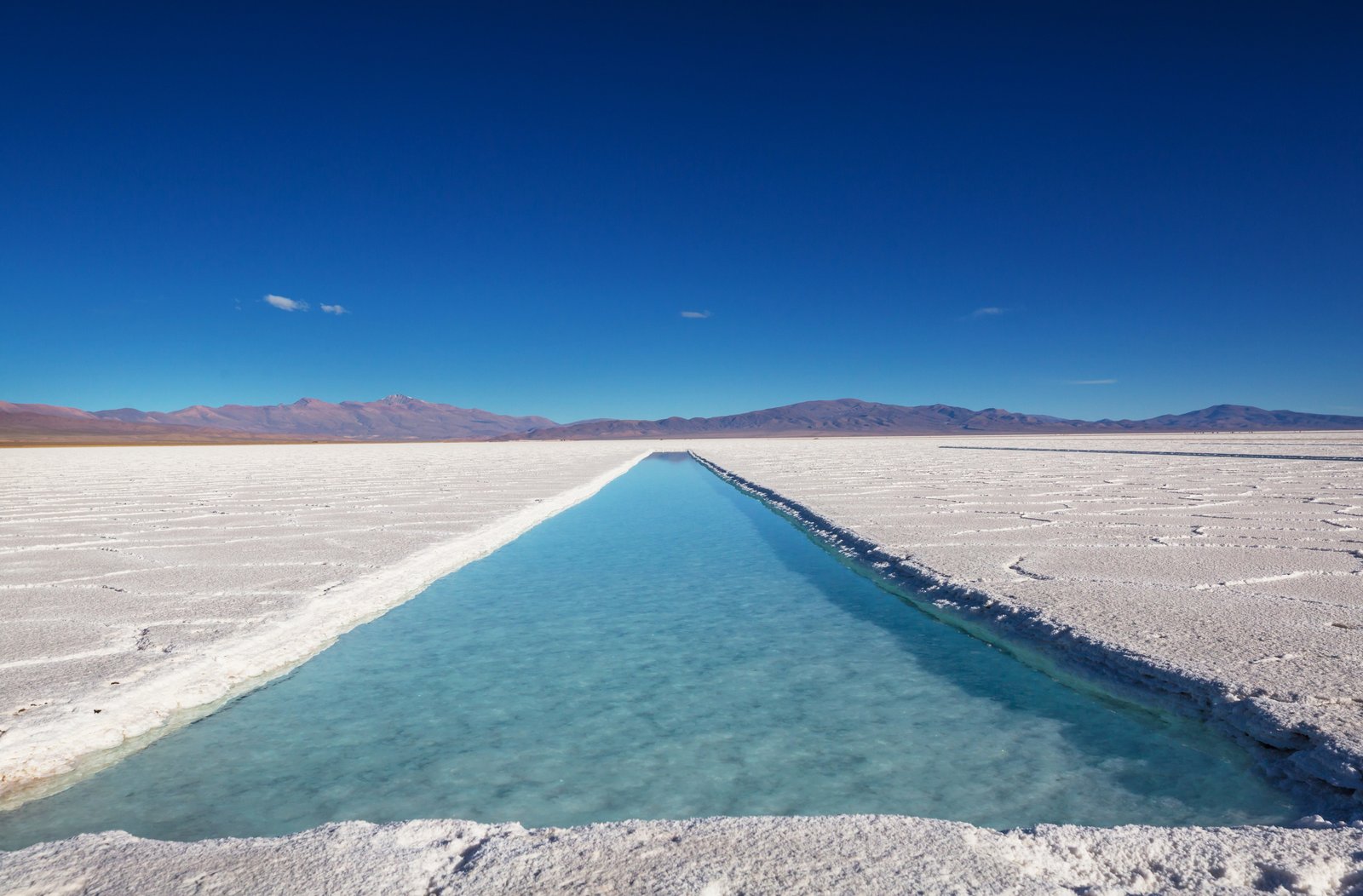
Salinas Grandes: How to Get There, Prices & Practical Tips
Everything about Jujuy's Salinas Grandes: routes, costs, best season, tours and tips for the perfect excursion from Purmamarca.
Read more →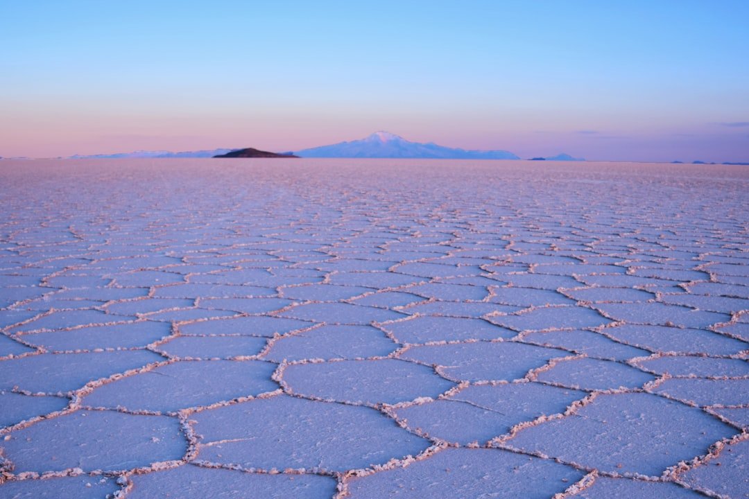
Salinas Grandes Jujuy: Complete Guide — How to Get There, What to See & Responsible Tourism
Complete guide to Jujuy's Salinas Grandes: how to get there from Purmamarca, Lipán pass, indigenous cooperative, best season and practical tips.
Read more →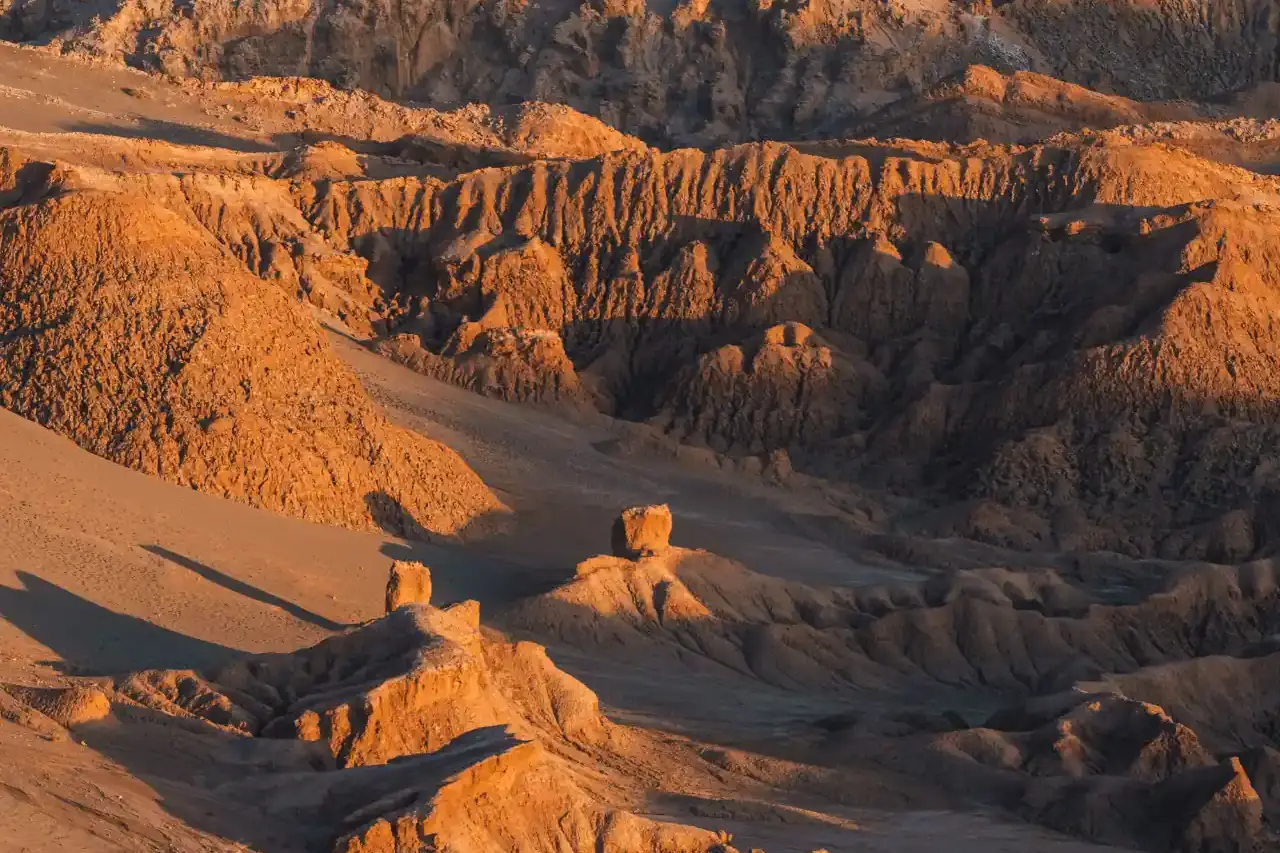
Jujuy to San Pedro de Atacama via Paso de Jama: 2026 Guide
Jujuy to San Pedro de Atacama is about 515 km over the 4,200 m Jama Pass. Direct buses, border hours, snow closures, Chile customs rules and rental cars.
Read more →