Purmamarca has a dry, sunny high-desert climate: at 2,324 m (7,625 ft) it is the mildest of the best-known towns in the Quebrada de Humahuaca. Days are pleasant almost all year and nights are cool, with frost in winter; as across the Quebrada, the gap between afternoon and dawn is typically 16 to 20 °C (29 to 36 °F). It barely rains, about 134 mm (5.3 in) a year at the nearest weather station, and nearly all of it between December and March, the rainy season.
What changes your day most is not the weather in town but the weather up high: from Purmamarca, Route 52 climbs to 4,170 m (13,681 ft) on the Cuesta de Lipán and reaches the Salinas Grandes salt flats, which are much colder and windier. Below: the weather month by month, what to pack (seasons are reversed from the Northern Hemisphere), the best time to go, roads, and how to check the Purmamarca forecast and alerts from Argentina's National Weather Service (SMN). For the whole province, see our guide to the best time to visit Jujuy.
What Purmamarca's climate is like
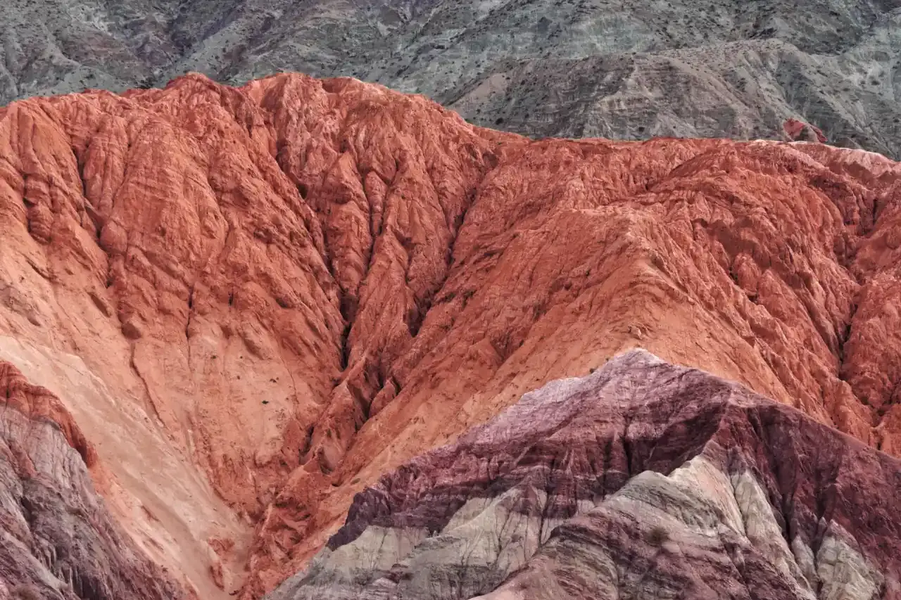
Purmamarca sits in a side valley about 3 km (2 mi) west of Route 9, ringed by colorful hills and cardón cacti. Its climate is arid: few clouds, dry air, lots of sun and rain concentrated in summer.
The town has no weather station with public data. The nearest is the SMN station at Vivero Hornillos (2,370 m / 7,776 ft), in the Hornillos area on Route 9 between the Purmamarca turnoff and Maimará, with a 1962-1968 series. Its figures:
- Rainfall: 134 mm (5.3 in) a year, with 25 to 35 mm (1 to 1.4 in) a month from December to March and almost nothing from May to August.
- Average temperature: 17 °C (63 °F) in January and 10 °C (50 °F) in July.
- About 30 days with precipitation a year.
- Wind: an average of 16 km/h (10 mph), mostly from the south, blowing up the valley; it is windier from September to April than in winter.
Purmamarca is only about 50 m (165 ft) lower than that station, so its climate should be very similar. It is the mildest of the three most-visited towns in the Quebrada: in June and July, Hornillos averages are more than 2 °C (3.6 °F) warmer than Humahuaca's.
Purmamarca weather month by month
Purmamarca has no station of its own, so we combine two SMN sources released by Argentina's Mining Secretariat. Rainfall and average temperature come from Vivero Hornillos (2,370 m, 1962-1968), the nearest station. It did not record highs and lows, so for those figures we use Humahuaca (2,980 m / 9,777 ft, 1961-1970), the most complete series in the Quebrada. Values are rounded.
- January: high 24 °C (75 °F) / low 8 °C (46 °F), rain 26 mm (1.0 in); Hornillos average 17 °C (63 °F)
- February: high 23 °C (73 °F) / low 9 °C (48 °F), rain 35 mm (1.4 in); Hornillos average 17 °C (63 °F)
- March: high 24 °C (75 °F) / low 7 °C (45 °F), rain 25 mm (1.0 in); Hornillos average 15 °C (59 °F)
- April: high 23 °C (73 °F) / low 3 °C (37 °F), rain 4 mm (0.2 in); Hornillos average 14 °C (57 °F)
- May: high 22 °C (72 °F) / low -1 °C (30 °F), rain 2 mm (0.08 in); Hornillos average 12 °C (54 °F)
- June: high 20 °C (68 °F) / low -3 °C (27 °F), rain 0 mm; Hornillos average 11 °C (52 °F)
- July: high 20 °C (68 °F) / low -3 °C (27 °F), rain 0 mm; Hornillos average 10 °C (50 °F)
- August: high 21 °C (70 °F) / low -2 °C (28 °F), rain 1 mm (0.04 in); Hornillos average 11 °C (52 °F)
- September: high 23 °C (73 °F) / low 1 °C (34 °F), rain 3 mm (0.1 in); Hornillos average 12 °C (54 °F)
- October: high 24 °C (75 °F) / low 3 °C (37 °F), rain 3 mm (0.1 in); Hornillos average 14 °C (57 °F)
- November: high 24 °C (75 °F) / low 6 °C (43 °F), rain 8 mm (0.3 in); Hornillos average 15 °C (59 °F)
- December: high 24 °C (75 °F) / low 8 °C (46 °F), rain 27 mm (1.1 in); Hornillos average 17 °C (63 °F)
How to read the list: Humahuaca is more than 600 m (2,000 ft) higher, so Purmamarca's afternoons tend to be a little warmer and its nights less cold than those highs and lows. The averages confirm it: Hornillos is 0.3 to 2.5 °C (0.5 to 4.5 °F) warmer than Humahuaca depending on the month, with the biggest gap in winter. Treat the list as a floor: dress for those figures and you will not be cold in town.
Weather on the Cuesta de Lipán and at the Salinas Grandes
The most popular trip from Purmamarca climbs from 2,324 m (7,625 ft) to 4,170 m (13,681 ft) at the Abra de Potrerillos pass, then drops to the Salinas Grandes salt flats at 3,450 m (11,319 ft). Up there, the weather is different:
- Temperature: much colder than in town. For reference, La Quiaca, at a similar altitude to the salt flats, has SMN 1991-2020 normals of about 21 °C (70 °F) highs and 8 °C (46 °F) lows in January, and 16 °C (61 °F) and -6 °C (21 °F) in July.
- Wind: on the Puna, according to the provincial tourism ministry, most days bring winds over 70 km/h (43 mph) from midday to midnight. That is why mornings are best.
- Sun: the glare off the salt multiplies UV exposure; dark sunglasses and sunscreen are a must.
- Snow: in winter some cold fronts leave snow or ice on the upper part of the pass.
- Mirror effect: in the rainy season the salt flat may hold a thin sheet of water that reflects the sky, but that is also when storms and road closures are most likely.
Bring a warm, windproof jacket even if it is hot in town. The full route is in our Purmamarca to Salinas Grandes drive guide.
What to pack for Purmamarca
Dress in layers and pack for the coldest trip you plan to take.
- Summer (December to March): light clothes, a rain jacket for afternoon storms and a light warm layer for the evening.
- Fall (April and May): pleasant days and cold nights; a fleece and a jacket.
- Winter (June to August): mild, sunny afternoons and frosty dawns. A down jacket, beanie and gloves, plus thermal layers if you are going up to the salt flats.
- Spring (September to November): warm days and cool nights; a mid-weight jacket and, from November, something for the rain.
- All year: sunglasses, a brimmed hat, high-SPF sunscreen, lip balm and water.
For the salt flats, add closed shoes: salt is abrasive and reflects the sun.
The best time to visit Purmamarca for what you want to do
- For photos of the Hill of Seven Colors: year-round, early in the morning or in the last hour before sunset, when the light brings out the stripes. From May to September skies are clearest; in April the hills still have their summer green. More tips in our Hill of Seven Colors guide.
- For the mirror effect at the salt flats: the rainy season, December to March, with a higher risk of storms and road closures.
- For Carnival: February, as across the Quebrada. In 2027 the opening ceremony (the desentierro) is on Saturday 6 February, Carnival Tuesday is the 9th and the closing burial is on Sunday 14.
- For the patron saint festival: in late August the town celebrates Saint Rose of Lima, patron of its 17th-century church.
- For fewer crowds: September to November, plus May and June before the Argentine winter school holidays, avoiding Argentine long weekends.
- For lower prices: those same periods. Purmamarca is small and fills up in July, at Carnival and over Easter, so book early.
To pick the right base for your plans, see our guide on where to stay in Purmamarca.
Roads in the rainy season and in winter
- Getting to town: about 3.5 km (2 mi) of paved road along Route 52 from Route 9. In summer, storms can close Route 9 between the capital and the Quebrada for a few hours, when debris flows of mud and rock come down the dry streambeds.
- Cuesta de Lipán (RN 52): in October 2026 Argentina's national roads agency (Vialidad Nacional) was asking drivers to take extreme care because of damaged pavement on the pass, with a permanent detour at Ronqui Angosto (km 50) for repairs. In summer, rain can wash mud and rocks onto the road, and in winter there may be snow or ice up high.
- Paso de Jama: at the end of the same Route 52, the border crossing to Chile was closed several times in 2026, between August and October, because of snow and ice on the Chilean side. During the long August closure, trucks were barred from entering Route 52 at Purmamarca. If you plan to cross, read our guide from Jujuy to San Pedro de Atacama.
- Fuel: Purmamarca has no gas station. Fill up before you arrive, especially if you are heading up to the salt flats.
- Where to check: Vialidad Nacional posts national route conditions on its website (in Spanish) and answers on 0800-222-6272, a toll-free number within Argentina, Monday to Friday from 9 am to 5 pm. Jujuy's Road Safety Secretariat publishes a daily report that includes the status of the Paso de Jama.
Drive the pass in daylight, avoid driving in the rain at night and never cross a dip with running water.
Wind, UV and the Purmamarca forecast
Wind. In town, a southerly breeze usually picks up in the afternoon, blowing up the valley. On some days the Zonda arrives, a hot, dry, dusty downslope wind similar to a foehn or chinook: in October 2026 the SMN kept yellow Zonda alerts for several days for the Puna and mountain zones of Tumbaya, Purmamarca's department, with gusts over 70 km/h (43 mph).
UV radiation. The SMN publishes a daily UV index forecast for solar noon. On the World Health Organization scale, 8 to 10 is very high and 11 or more is extreme; on the salt flats, the glare makes it feel even stronger. High-SPF sunscreen every two hours, UV-filter sunglasses and a hat.
Forecast. The reference is the SMN, Argentina's official weather service: check it at smn.gob.ar by searching for the town or the nearest place listed, or in its free app, SMN: Tiempo y Pronóstico (in Spanish), with a 7-day forecast, alerts 24, 48 and 72 hours ahead, and radar. To read it well:
- Check two forecasts, one for town and one for the Puna, because up there the low can be several degrees colder and the wind much stronger.
- Chance of precipitation: the SMN shows it in bands: nula (0%), muy baja (up to 10%), baja (10 to 40%), media (40 to 70%) and alta (70 to 100%). It is the likelihood of rain, not the amount.
- If afternoon storms are forecast in summer, head up to the salt flats early and come back before midday.
- Trust the first two or three days most.
Alerts. They use colors: yellow (stay informed), the most common; orange (get prepared) for dangerous weather; and red (follow official instructions) for exceptional situations. In Jujuy they are issued by zone: for Purmamarca, look for Zona montañosa de Tumbaya (mountain zone), and for the pass and the salt flats, the Puna zones such as Puna de Tumbaya. Under a snow or wind alert, postpone the trip. If you are continuing north, see our Tilcara weather guide too.
Frequently Asked Questions
Ready to travel?
Compare hotels, car rentals and tours in Jujuy.
Related Articles
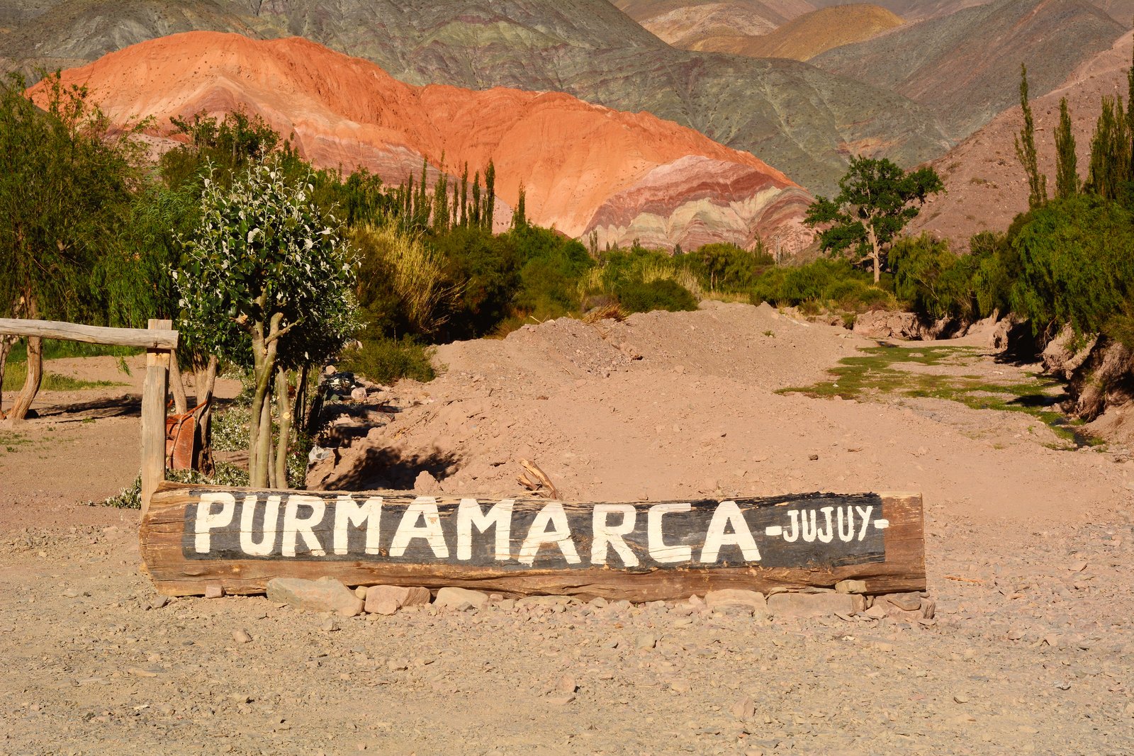
Where to Stay in Purmamarca: Best Hotels, Cabins & Hostels 2026
Best accommodation in Purmamarca for all budgets. Boutique hotels, cabins, hostels and booking tips.
Read more →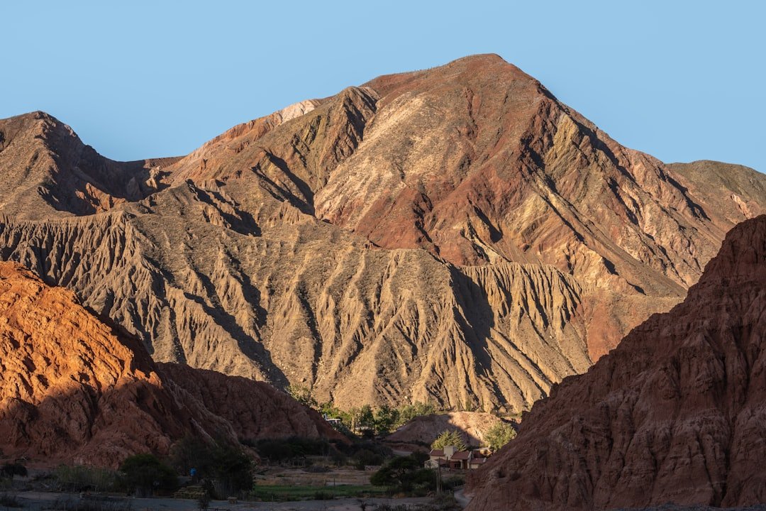
Purmamarca and the Hill of Seven Colors: Complete Guide — Walk, Photos and Market
Complete guide to Purmamarca: Hill of Seven Colors, Paseo de los Colorados walk, craft market, best light for photos and where to sleep in the village.
Read more →
Altitude Sickness in Jujuy: How to Acclimatize and Not Ruin Your Trip
Practical guide to preventing and treating altitude sickness in Jujuy. Exact altitudes, day-by-day protocol, medications and warning signs.
Read more →